An early spring storm is bringing rain, heavy snow and strong winds to five provinces in Eastern Canada.
According to CTV Your Morning's meteorologist Kelsey McEwen, a Colorado low is responsible for the wet and wintery conditions.
Environment Canada has issued snowfall warnings for large areas of central Ontario and southern Quebec, including cities and towns like Sudbury, Ottawa, Cornwall, Gatineau, Montreal, Mont-Tremblant and Quebec's Eastern Townships. Anywhere from 15 to 30 centimetres of snow is expected between Wednesday and Thursday.
"With temperatures being very close to the freezing mark, the snow may be very heavy and wet in nature," Environment Canada cautioned. "Surfaces such as highways, roads, walkways and parking lots may become difficult to navigate due to accumulating snow."
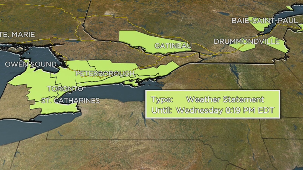
Special weather statements are meanwhile in effect for large parts of southern Ontario, including Toronto, Barrie, Hamilton, Burlington, Mississauga, Kingston, Peterborough, Niagara Falls and the Bruce Peninsula. Heavy rain totalling 25 to 40 millimetres is expected Wednesday along with east gusting winds of 80 km/h.
"This evening as cooler air pushes in, the rain may mix with or transition over to wet snow which is expected to ease Thursday," Environment Canada said. "Accumulating snow is possible, particularly inland away from Lake Ontario or over higher terrain."
Special weather statements are also in effect across Atlantic Canada, covering nearly all of New Brunswick, Prince Edward Island and Nova Scotia, as well as parts of Quebec. Ten to 20 cm of snow is expected across the region beginning Wednesday night in New Brunswick, Thursday morning in Nova Scotia, and Thursday afternoon in P.E.I. Strong winds and higher amounts of snow are also possible in some areas, including the Gaspe Peninsula, northeastern New Brunswick and Cape Breton, N.S.
"The snow is likely to be very wet and heavy in nature," Environment Canada stated. "This, along with gusty easterly winds, may cause tree branches to break. Utility outages may occur."
 A special weather statement in effect for parts of Ontario and Quebec, April 3, 2024.
Across the country, winter weather has returned to Alberta after warm temperatures on Tuesday. Snowfall warnings are now in place for much of the southwestern part of the province, including Fort Macleod, Canmore, Crowsnest Pass and Waterton Lakes National Park. Ten to 20 cm of heavy snow is expected from overnight Wednesday into Thursday.
"Visibility may be suddenly reduced at times in heavy snow," Environment Canada warned. "If visibility is reduced while driving, turn on your lights and maintain a safe following distance."
Snowfall warnings are in effect further north in Alberta for Rainbow Lake, High Level and the Caribou Mountains, where 10 to 15 cm is expected by this evening. The Fort Liard and Trout Lake regions in N.W.T. are also under snowfall warnings, with 10 to 20 cm by the end of the afternoon.
The weather will be much balmier in neighbouring Saskatchewan, where temperatures could break records as they reach the low 20s on Wednesday.