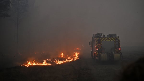
After a stormy and unsettled weekend, Calgary can expect a period of more stable and consistent weather conditions for the next seven to 10 days. Daytime highs around central and southern Alberta will sit around seasonal values on Monday, including a forecast in Calgary of 22 C. It will be mostly sunny due to the ridge of high pressure over Alberta, B.C., the Northwest Territories and the Yukon, with wind picking up in the southern portion of the province by the mid-afternoon. This ridge will largely dominate for the next few days, however, there will be more cloud cover in Calgary starting Tuesday and a risk of heat-driven thunderstorms on Wednesday and Thursday. On Tuesday afternoon, a small disturbance is expected to produce some brief and potentially severe thunderstorms in southeastern Alberta in the late afternoon/early evening. Starting Tuesday, daytime highs will sit in the mid to high 20s for Calgary, and possibly higher outside of the city. It is possible that some heat warnings will be issued in some areas. Overnight lows will range from 10 C to 15 C in Calgary from Tuesday until the middle of next week. A low-pressure system over the northern border of the prairie provinces will pull wildfire smoke back into the northern portion of Alberta from source fires in the Northwest Territories and northern Saskatchewan. These hot and dry conditions over the next week will increase concern around wildfire risk in more areas – including Alberta and B.C.