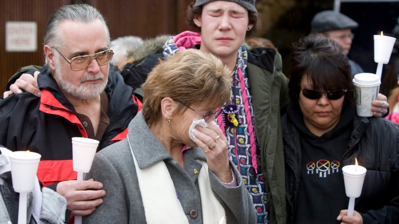
Robert Pickton stabbed with toothbrush and broken broom handle: victim's family
The family of one of Robert Pickton's victims says the convicted serial killer suffered an incredibly violent death at the hands of another inmate.
Christmas, Hanukkah, Yule, Kwanzaa, Boxing Day and New Year's Eve are just some of the holidays that make December the jolliest time of year for many in the so-called Great White North.
For those who associate the holidays with snow, late December weather can make or break the festive mood. When it comes to road and air travel conditions, the stakes are even higher for families travelling to spend the holidays together.
So what will December look like across Canada this year? Environment and Climate Change Canada (ECCC) has released a winter forecast that casts December as unseasonably mild, thanks to a "moderate-to-strong" El Nino event and human-caused warming.
"I think we had a seasonal month of November, so it was around the long-term average," ECCC warning preparedness meteorologist Geoff Coulson told CTVNews.ca in a phone interview on Monday. "But it looks like as we go through December, it is going to be somewhat warmer than normal."
Most of Canada can expect above-average temperatures for the month of December, but Coulson said the trend will be most apparent along a chain of regions in the northern half of the country.
"That's basically from the Arctic Circle down through Nunavut, Hudson Bay and into parts of Manitoba and Ontario, as well as northern Quebec and Labrador," he said.
Coulson said Atlantic Canada will also see a "good chance of warmer-than-normal conditions" in December.
Most of British Columbia can expect about a 50 per cent likelihood of above-average temperatures, with some variation in coastal areas of B.C., where the likelihood of unseasonable temperatures is highest, and northeastern B.C., where it is lowest.
 This heat map generated by Environment and Climate Change Canada shows the predicted average probability of temperatures above, below and near normal across the country for the period from December 2023 to February 2024. (Environment and Climate Change Canada)
With the exception of northwestern Alberta, where the probability of above-average temperatures is a little lower, most of that province will also see about a 50 per cent likelihood of above-average temperatures.
Not a single region of the country is likely to see consistently average or lower-than-average temperatures between December and February, according to ECCC. In its December forecast, last week, The Weather Network also called for "near-normal or above-normal temperatures across most of the country" for the weeks leading up to the holidays.
The two culprits shaping most of these trends, Coulson said, are a "moderate-to-strong" El Nino event and human-induced warming, the latter of which has more of an impact in the northern latitudes of Canada.
"When it comes to El Nino ... it tends to be more of the western part of the country, so B.C., the Yukon, the Prairies, maybe getting into northwestern Ontario," he explained. "But when we're dealing with a strong El Nino, the temperature influence can extend further east into (other) parts of Ontario and Quebec as well."
Coulson said parts of the country including the Arctic Circle, Nunavut, the Great Lakes Basin, southern Quebec, southern British Columbia and Vancouver Island should expect more precipitation than usual this month.
As a result of the warmer temperatures predicted for December, Coulson said southern Ontario and the Great Lakes are more likely than usual to see a mix of rain, freezing rain and ice pellets compared to snow.
A snowy December is more likely for areas of Ontario north of Georgian Bay and Lake Huron, Coulson said.
 This heat map generated by Environment and Climate Change Canada shows the predicted average probability of precipitation above, below and near normal across the country for the period from December 2023 to February 2024. (Environment and Climate Change Canada)
"When it comes to places like Vancouver Island and southern B.C., everything has to do with elevation," he said. "So those areas near the coast, this is likely indicating more rainfall than normal for the month of December, with some snow mixing in there as well, and then more snow than normal when we talk about the higher elevations in the more mountainous parts of B.C."
As for Atlantic Canada, Coulson said ECCC doesn't predict a strong precipitation trend in December.
"There doesn't seem to be as much consensus, (so) either-near normal conditions or a little bit drier than normal being indicated by some models, but with no real consistency," he said.
Despite the reliability of long-term trends, localized weather events can be hard to predict, can change quickly and can deliver large amounts of rain, freezing rain and snow, even during a mild El Nino winter.
For this reason, Coulson said people in all provinces should still prepare for severe weather in the coming months.
"These could be large-scale storm systems moving from west to east across the country or from northwest to southeast, or it could be intense small-scale storms like lake-effect snow such as (what) we deal with here in Ontario," he said.
For example, an atmospheric river made landfall in British Columbia on Monday, pummelling the southwest of the province with wind and heavy rain. In Ontario, an incoming weather system is predicted to deliver heavy rain, snow and strong gusty winds to eastern Ontario over the weekend.
"Active weather isn't necessarily linked to what the overall temperature trend is indicating, and Canada can get a huge variety of weather systems through the winter months," Coulson said.
"So I think it's really important for folks this time of year to keep on top of the forecast on a day-by-day basis because of its changeability (and) because of the potential for getting powerful storms."

The family of one of Robert Pickton's victims says the convicted serial killer suffered an incredibly violent death at the hands of another inmate.
Few people can say they accidentally purchased a nude beach — but Shelley can. When she saw a piece of land she could fondly remember camping on was up for sale, she inquired about it and ended up purchasing it. She soon found that there were already inhabitants on it.
A Mennonite father who killed his one-year-old son with an axe may be allowed to travel to parts of southern Ontario in the coming months
A daughter of actors Angelina Jolie and Brad Pitt filed paperwork to legally remove "Pitt" from her name on the day she turned 18.
Jennifer Lopez has cancelled her 2024 North American tour, representatives for Live Nation confirmed to The Associated Press.
As weight-loss plans go, it's easy to see the allure of intermittent fasting: Eat what you want, but only during certain windows of time — often just eight hours a day.
Tick season is well underway and there is a new species of ticks causing new diseases, which is why you need to take steps to protect yourself.
Embracing Donald Trump's strategy of blaming the U.S. justice system after his historic guilty verdict, Republicans in Congress are fervently enlisting themselves in his campaign of vengeance and political retribution in the GOP bid to reclaim the White House.
Canada is getting not one – but two – celestial shows over the next few days. Keep an eye on the sky for the northern lights and parade of planets!

A hefty donation by a renowned local activist to the University of Winnipeg has created what is believed to be the most comprehensive two-spirit archives in all of Canada.
Leanne Van Bergen discovered a skulk of 10 baby foxes, and two mothers, had made themselves at home on her property in Beausejour.
An 81-year-old Waterloo, Ont. woman thought she’d never ride a horse again after a brain bleed led to severe physical complications.
A CP24 camera caught the moment a driver frantically got out of her car as it was being dragged by a truck on Avenue Road Wednesday afternoon.
Prince Edward Island is celebrating its first-ever International Day of Potato on Thursday.
The president of Covered Bridge Chips in New Brunswick is hoping to have his factory rebuilt for late 2025 following a devastating fire last year.
Students and staff at Winnipeg’s Westwood Collegiate had a unique problem to solve this month; how do you lead ducks to water from the school’s courtyard when 12 of them can’t fly yet?
Debby Lorinczy remembers her father as an amazing person and as a man who also made an amazing discovery.
Abigail Strate is a member of the Canadian national ski jumping team and an Olympic bronze medallist. She's also a certified beekeeper.