toronto -
Satellite imagery from before and after the flooding in British Columbia reveal the true devastation the region has experienced.
The images from Nov. 19, provided by the satellite company Maxar Technologies, shows vast areas of green farmland in the Sumas Prairie near Abbotsford, B.C. that are now covered in what appears tobe murky brown water.
Some of the before images also show buildings and highways that are nearly unrecognizable in the second images.
The flooding situation in the Sumas Prairie has improved since these images were captured. On Tuesday, Abbotsford’s evacuation order was downgraded to an evacuation alert as the water levels receded in the area.
The downgrade meant that some residents were allowed to return to their homes. An update from city and provincial officials is expected later Tuesday.
In other parts of B.C., residents are also seeing an improvement. In Merritt, some residents were allowed to return home after the entire community was evacuated last week,
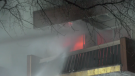
CN railways are expected to resume “limited” service in southern B.C. tomorrow after flooding and mudslides damaged the rail line.
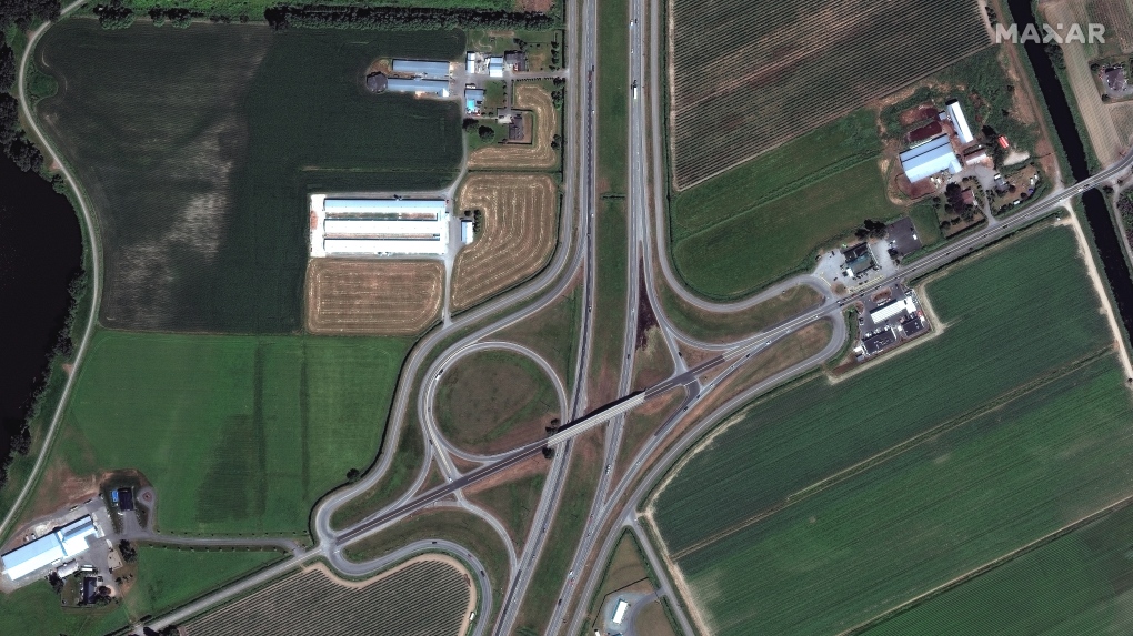 Images from Nov. 19 show vast areas of green farmland in the Sumas Prairie near Abbotsford, B.C. that are now covered in what appears to murky brown water. (Satellite image ©2021 Maxar Technologies)
(Satellite image ©2021 Maxar Technologies)
 Images from Nov. 19 show vast areas of green farmland in the Sumas Prairie near Abbotsford, B.C. that are now covered in what appears to murky brown water. (Satellite image ©2021 Maxar Technologies)
(Satellite image ©2021 Maxar Technologies)
 Images from Nov. 19 show vast areas of green farmland in the Sumas Prairie near Abbotsford, B.C. that are now covered in what appears to murky brown water. (Satellite image ©2021 Maxar Technologies)
(Satellite image ©2021 Maxar Technologies)
 Images from Nov. 19 show vast areas of green farmland in the Sumas Prairie near Abbotsford, B.C. that are now covered in what appears to murky brown water. (Satellite image ©2021 Maxar Technologies)
(Satellite image ©2021 Maxar Technologies)
 Images from Nov. 19 show vast areas of green farmland in the Sumas Prairie near Abbotsford, B.C. that are now covered in what appears to murky brown water. (Satellite image ©2021 Maxar Technologies)
(Satellite image ©2021 Maxar Technologies)
 Images from Nov. 19 show vast areas of green farmland in the Sumas Prairie near Abbotsford, B.C. that are now covered in what appears to murky brown water. (Satellite image ©2021 Maxar Technologies)
(Satellite image ©2021 Maxar Technologies)