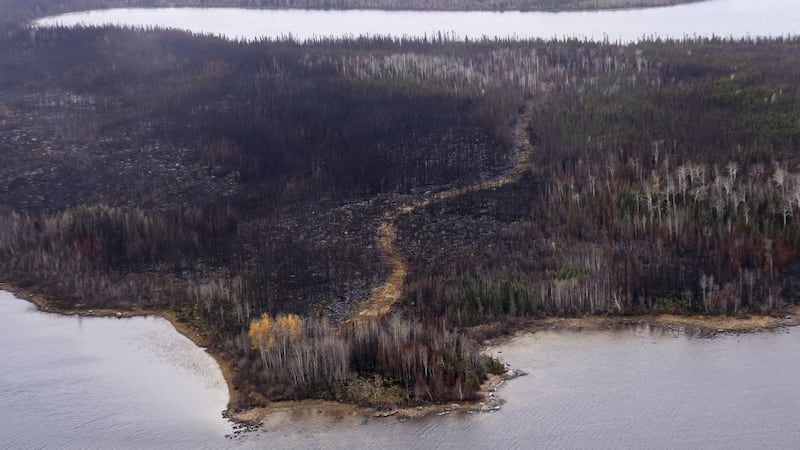
With Canada forecasting a hotter-than-average summer, environmental experts are warning Canadians should take notice of air quality because of the prospect of smoke from wildfires. To help Canadians get an up-to-date picture of the quality of the air they’re breathing in their communities, CTVNews.ca has created a tracker featuring Esri Canada maps that show current wildfire hotspots, the latest smoke forecasts from those wildfires, and the latest Air Quality Index conditions for 100+ locations across Canada. This below map displays visible surface smoke across North America for the current day and for the next 48 hours, in one-hour increments. It’s updated every 24 hours from the National Weather Service. Press play to view the smoke forecast in affected areas. For a full-screen version of the Esri map interactive, click here Active wildfires The map below shows active wildfire locations in Canada. The data is updated every three hours and is collected from fire management agencies across provinces, territories and Parks Canada, coordinated by the Canadian Interagency Forest Fire Centre (CIFFC) and Natural Resources Canada. Air quality The below map displays air quality using data from AirNow from the latest hour. U.S. state and local agencies report the Air Quality Index (AQI) for cities across the U.S. and parts of Canada and Mexico. Here’s an explanation of the air quality readings: For a full-screen version of this map, click here