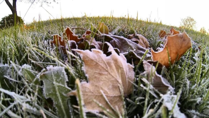
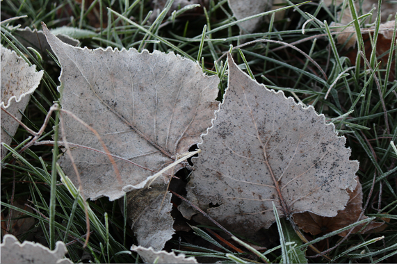
A cooler weather pattern has emerged for most of Alberta, along with heightened instability. Daytime highs in Calgary are expected to sit between 12 C to 14 C from Friday until Tuesday, with overnight lows closer to a seasonal 5 C. Light and scattered showers are likely over central and southern Alberta on Friday, with mixed precipitation and/or snow possible in the higher elevations along the Rockies. Saturday should be drier, but still cloudy with north and northwest winds expected to continue. The main weather maker is a widespread trough that will sit over the prairie provinces with a low-pressure system along the western edge that is going to detach early in the weekend and should reattach along the southwestern edge of the trough by Sunday. That low will grab moisture from the Pacific basin before entering the southern portion of the Alberta-B.C. border. The counterclockwise rotation around the low will lead to upslope flow against the southern foothills – a scenario that typically produces highly variable precipitation totals. Calgary is likely to see some rain on Friday and again on Sunday and Monday, but the more noticeable component to this forecast will be the colder temperatures and overall unsettled vibe, with cloudy conditions and north wind making it feel colder than the ambient temperature. Daytime highs will return to the low 20s in Calgary by the end of next week.