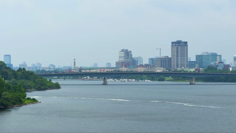
A stretch of unsettled weather is expected to move through the region Sunday, bringing showers, possible thunderstorms and oppressive humidity before conditions gradually improve early in the week. Environment Canada is forecasting cloudy skies Sunday with a 40 per cent chance of showers in the morning. More widespread showers are expected to develop near noon and continue through the afternoon, with total rainfall amounts of 10 to 20 millimetres possible. Forecasters are also warning of a risk of thunderstorms during the morning and afternoon hours. The temperature is expected to reach 27 C, while humid conditions will make it feel closer to 37. Sunday night will remain cloudy, with a 40 per cent chance of showers and a lingering risk of thunderstorms early in the evening. Northwest winds at 30 km/h are expected to become light later in the evening. The overnight low is forecast at 20 C. Conditions are expected to improve Monday, with a mix of sun and cloud and a 30 per cent chance of showers. The daytime high will again reach 27 C before skies clear overnight and temperatures fall to 15 C. Sunny weather is forecast for Tuesday, with a high of 27 C. Cloudy periods are expected to return Tuesday night, along with a 40 per cent chance of showers and a low of 19 C. Another round of unsettled weather is possible Wednesday. The forecast calls for cloudy skies and a 60 per cent chance of showers, with a cooler high of 24 C. Cloudy periods and a 30 per cent chance of showers are expected Wednesday night, when temperatures are forecast to dip to 15 C. The region is expected to end the workweek on a brighter note, with a mix of sun and cloud and a high of 25 C forecast for Thursday.