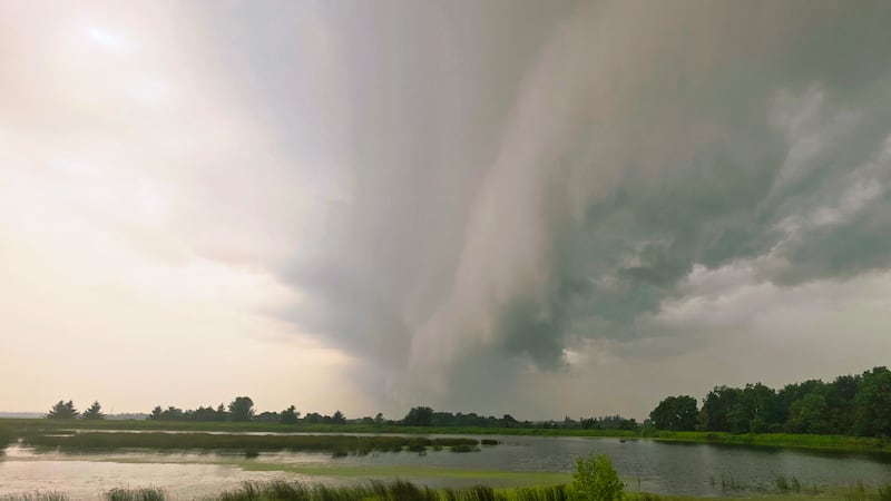
The heat, humidity and smoke in Ottawa have prompted a severe thunderstorm watch and an air quality warning for the capital. Environment Canada issued the yellow-level storm watch just before 1 p.m., saying conditions were favourable for the development of severe storms; however, the wildfire smoke blanketing Ottawa with a yellow haze might limit their severity. “Rapidly developing thunderstorms are possible late this afternoon and evening. Forest fire smoke aloft may limit the development of thunderstorms,” the watch says. Environment Canada says the storms could produce wind gusts of up to 110 km/h and “quarter to ping pong size hail.” On Tuesday evening, Environment Canada issued an air quality warning as wildfire smoke intensified over the capital. The smoke is expected to dissipate on Wednesday morning. The air quality health index is rated as 5 - moderate risk. Residents are being asked to limit time outdoors and to consider reducing or rescheduling outdoor sports, activities and events. Ottawa has been under a heat warning since Monday, with a forecast high of 35 C on Tuesday, and a projected humidex of 43. If reached, it would be the hottest day of the year so far, after a temperature of 33.1 C was recorded on July 2. The forecast calls for a 30 per cent chance of showers late this afternoon with the risk of a thunderstorm, and wind gusts of up to 50 km/h. “Utility outages are possible. Significant damage to property, buildings and trees is possible,” Environment Canada says. “When thunder roars, go indoors! Lightning kills and injures Canadians every year.” Ottawa has seen two major rainfall events this month. The first was a record-breaking 118 mm of rain falling on Canada Day, leading to widespread flooding and damage. The second was a 39.2 mm rainfall on July 9.