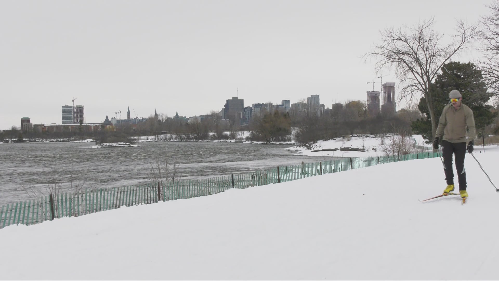
Ottawa will experienced a mixed bag of weather on the first day of March Break, with temperatures warming up to 14 C, heavy rain and then up to five centimetres of snow. Environment Canada is calling for 15 to 25 mm of rain today, with another 5 to 10 mm of rain tonight before the precipitation changes to snow. Ottawa could see 2 to 4 cm of snow today. Showers will change to snow and “local blowing snow” near midnight, according to Environment Canada. The temperature will drop to -8 C. Environment Canada issued the first yellow watch – severe thunderstorm of the season for Ottawa earlier in the day. The alert was lifted shortly after 6 p.m. Tuesday will be mainly cloudy with a chance of flurries. High -6 C. Wednesday will be sunny. High -3 C. Temperatures will begin to warm up on Thursday. Environment Canada says periods of snow or rain are expected on Thursday. High 2 C. The outlook for Friday calls for mainly cloudy with a chance of flurries. High -1 C. The normal temperatures for this time of year are a high of 3 C and a low of -6 C. Flood watch The South Nation Conservation (SNC) Authority has issued a flood watch for the South Nation River, warning the rainfall will lead to additional snowmelt and result in water levels rising. The South Nation River empties into the Ottawa River neat Plantagenet. “Based on current forecasts, the SNC flood forecasting model indicates that water levels are expected to increase briefly over the next two days, resulting in additional flooding in low-lying areas, floodplains, and areas with poor drainage,” the conservation authority said.