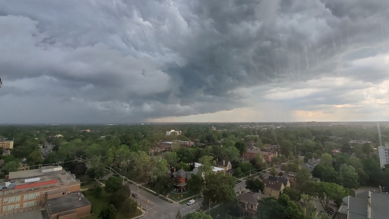
An early April spring storm that knocked out power to hundreds of thousands continues to move across Canada as residents brace for heavy snow and rain.
The storm that left residents of Ontario and Quebec in the dark Thursday is now pummelling the East Coast, according to CTV Your Morning's meteorologist Kelsey McEwen.
Atlantic Canada and Quebec
In Atlantic Canada, some areas already buried by earlier snowfall can expect an additional 15 to 20 centimetres of heavy snow, including in in northern New Brunswick. The snow is forecast to taper off Friday night.
Damaging winds are possible in Cape Breton, N.S., with winds gusts up to 120 km/h.
Southwestern Newfoundland and Labrador is warned to expect scaling wind gusts between 100 and 120 km/h, McEwen said.
Winter storm warnings continue along the St. Lawrence River north of Quebec City, and snow accumulation of up to 40 centimetres is possible.
Looking ahead to next week, southeastern Quebec, New Brunswick and Prince Edward Island should expect the better share of clear skies on Monday during the solar eclipse. Clouds are in the forecast elsewhere.
Power outages
As the spring storm ramps up, N.B. Power officials lists only 1,928 customer outages as of Friday, most of which are in the Northumberland Miramichi region.
A little more than 55,000 Hydro-Québec customers were still in the dark Friday as work crews continue their efforts to restore power following the major spring storm.
Hydro One said there are still nearly 9,000 homes and businesses without any electricity in Ontario, where the storm was worse earlier in the week.
Snow in the forecast elsewhere
While the worst of the storm is now in the east, and the snowfall warnings have ended, snow was still falling in parts of Ontario Friday.
And, McEwen warned those hoping this is the last of the spring snow, it doesn't stop there. More snow is on the way Friday for some.
In Ottawa, for example, light snow continued to fall Friday, after Wednesday and Thursday brought a mixed bag of rain and nearly 19 centimetres of snow. There's chance of flurries Saturday, too, in the capital.
London residents should expect mainly cloudy conditions and a chance of showers Friday evening before warming up for the weekend.
Toronto's forecast included a chance of flurries early in the day and in the evening.
North Bay, Timmins and some other northern cities were warned to expect snow Friday and possibly early Saturday.
Further west, Alberta could see snowfall between 15 and 30 centimetres Friday thanks to a separate spring storm.
As of Friday, P.E.I, parts of Nova Scotia and all of B.C. are weather advisory-free, as are the Northwest Territories, Nunavut and Yukon. There were no alerts in effect in the Prairies or Ontario.
With files from The Canadian Press


