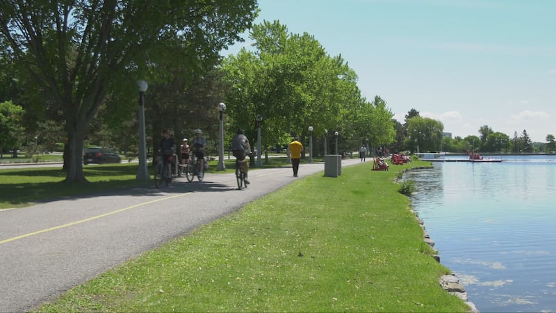
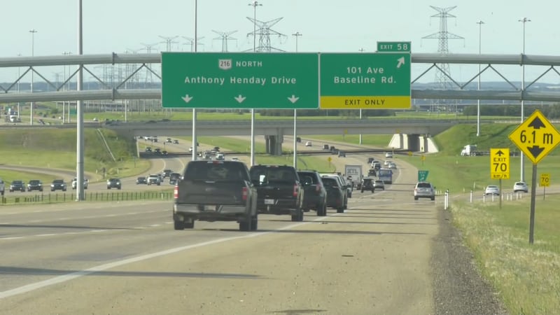
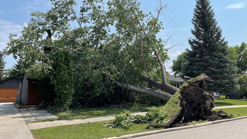
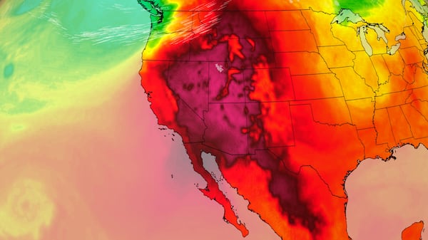
Temperatures will remain above seasonal for at least the next week, with daytime highs in the high teens and low 20s across most of southern Alberta. A dominant ridge of high pressure from the Pacific basin will continue to funnel warmer air into Alberta and B.C.; however, a potent low situated over the east-central portion of the country is creating some instability along the eastern edge of that high where the competing air masses meet. Scattered showers are possible along the foothills on Friday night and early Saturday, and there is a risk of more intense storms developing around central Alberta late Sunday. Nocturnal thunderstorms are possible through the Calgary area Sunday night and early Monday, with the greatest threats including strong wind and periods of intense rain. Outside of that, the weekend should be fairly mild, with a mix of sun and cloud and sustained north or northwest wind speeds of 10 to 15 km/h in Calgary. The overnight lows for the next week will range from 6 C to 9 C. Dry conditions have heightened the wildfire risk locally, with the province assessing most of the south and southeast as an extreme fire-danger risk as of May 7.