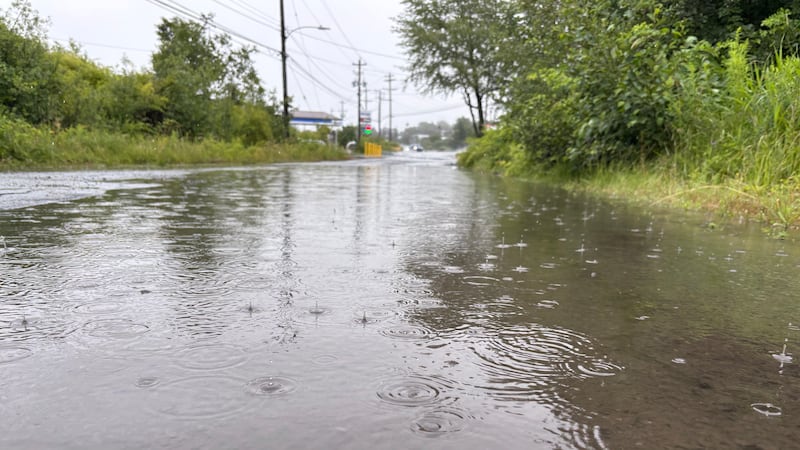
A slow-moving low-pressure system on the U.S. eastern seaboard is drawing a steady stream of subtropical moisture up into the Maritimes. The moisture is feeding into rain that is, in some cases, expected to continue through much of the weekend. Rainfall warnings Yellow rainfall warnings have been issued in the provinces of Nova Scotia and New Brunswick. Here is where they are in effect for as of Friday afternoon. New Brunswick: Nova Scotia: The warnings call for rain totals through Sunday that could reach 50 to 80 mm or even higher. Rain rates as high as 10 to 20 mm per hour. Those are torrential downpours that could quickly bring visibility down to less than one kilometre and quickly produce hydroplaning conditions on the road. Other areas in southern New Brunswick and Nova Scotia are under special weather statements with rain amounts that could reach 40 to 70 mm. Residents should be sure to check in on the latest alert in effect for their local areas for updates. The focus of the heaviest moisture feeding into the rain is for the province of Nova Scotia. I do think it is likely that some community rain totals could reach the 100 mm mark. That amount of rain comes with an increased risk of localized flooding. Rain timing Caution is urged as even though Sunday’s rain will be lighter, it will fall on saturated ground leading to further water runoff. Drainage systems blocked by fallen leaves could worsen local street ponding. November chill for next week A turn around in temperatures arrives early next week as a northwest wind develops and moves in chilly air out of northern Quebec. Daytime high temperatures fall into a range of the mid-to-high single digits. Overnight temperatures in the low single digits and potential a few degrees below freezing. For those planning on attending an outdoor Remembrance Day ceremony on Wednesday, be sure to dress for a chill in the air. Additionally, there is a chance of some isolated showers in both New Brunswick and Nova Scotia for that day next week.