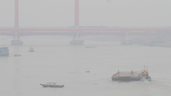
It was a soaker of a weekend for much of Alberta. A low-pressure system brought rain, wind and cool temperatures to the province triggering yellow and orange level rainfall warnings that blanketed much of southern Alberta on Sunday. Environment Canada released preliminary rainfall totals with Waterton Park Gate recording one of the higher values in the south at 79 millimetres. Those totals factor in rainfall that fell between Friday evening to Monday morning. Calgary recorded approximately 51 millimetres of rain over the weekend. While the worst of the rain may be done, this system is still interfering with our conditions. As the low-pressure system tracks eastward into Saskatchewan, its counterclockwise rotation is steering in smoke from northern Saskatchewan into southern Alberta, triggering a yellow level air quality advisory for Calgary. As of 5 p.m. Monday, Calgary’s Air Quality Health Index (AQHI) was at 10+, the most extreme value signifying an extremely high health risk. The AQHI is expected to remain high in the city for Tuesday, predicted to be around an eight in the morning and afternoon. As the low drifts more towards Manitoba and Ontario by mid-week, air quality should start to gradually improve. The upper air pattern over western Canada is very dynamic right now and there are a lot of variables at play. Later afternoon and evening thunderstorms could be possible for Calgary and the surrounding area for the rest of the work week, including Canada Day. Wildfire smoke can either enhance or inhibit storm potential depending on its thickness and position in the atmosphere. One thing that does seem consistent throughout the next five days is the temperature, as highs for Calgary remain within the seasonal range straight through to Saturday.