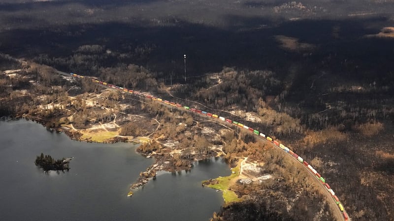
As we anticipated, heat warnings have been issued for southern Alberta including Calgary, as a ridge of high pressure brings warm southerly air into Canada. This is because daytime highs will be in the low thirties for the next three days with overnight lows in the mid-teens, resulting in little reprieve from the heat. Thursday, Calgary is off to a smoky start with the air quality health index forecast to be in the moderate risk zone throughout the day. However, winds are expected to pick up out of the west later this afternoon, which should help clear out the smoke but could usher in some showers or even thunderstorms. More severe storm activity is expected for northern Alberta, where an upper low-pressure system is passing through, but the local smoke in the Calgary area could enhance storm potential. Looking ahead to the weekend, Friday could also start off smoky with a high of 32 C in store if the sun can get through the smog. A very similar setup for Saturday and Sunday with a minor cool down on Monday.