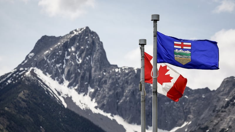
Daytime highs are expected to sit in the low 30s across portions of southern Alberta on Friday and Saturday. Environment and Climate Change Canada (ECCC) issued a yellow-level heat warning for southeastern Alberta, as well as northern Alberta, B.C., Saskatchewan, and the Northwest Territories due to the prolonged period of above seasonal temperatures. Calgary is not under the heat warning, but is still expected to reach highs of 27 C on Friday and 31 C on Saturday with overnight lows between 14 C and 18 C. The main weather-maker is a ridge of high pressure situated over the western prairies. Recent rain has created surface moisture which is enhancing the effects of an incoming disturbance crossing over the southern B.C. interior. Showers and thunderstorms were observed early Friday in southeastern B.C. and southwestern Alberta, and by mid-morning a widespread yellow-level severe thunderstorm watch was issued in Alberta. The area of concern runs from the foothills to east of the QEII and Highway 2 corridors and extends from just south of the Yellowhead Highway to the southern border of Alberta. The national weather agency explains, “Conditions are favourable for the development of severe thunderstorms that may be capable of producing strong wind gusts, large hail and heavy rain.” Some of those thunderstorms may rapidly intensify and possible include rotation – especially south of Calgary and between Lethbridge to Medicine Hat. Daytime highs in Calgary will remain above seasonal for most of the next week and a half – with the long-range forecast showing highs in the 30s next weekend.