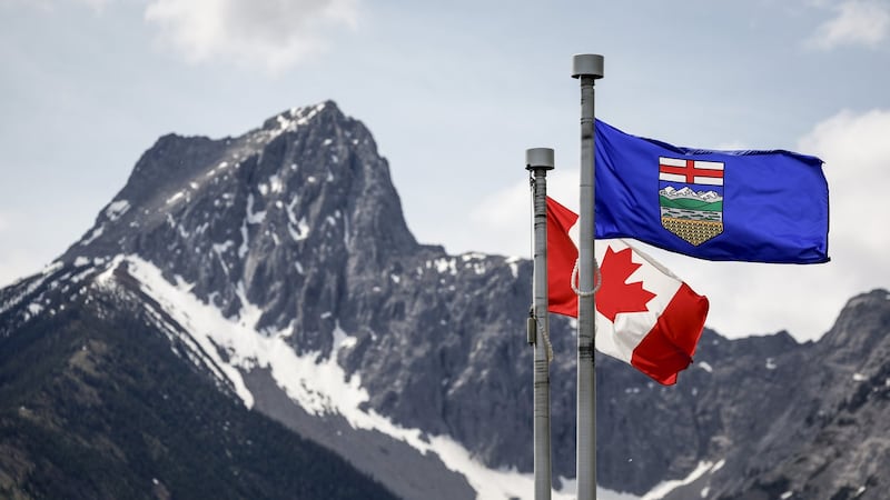
Weather across southern Alberta will remain consistent with above-average daytime highs and lows, along with mostly calm conditions. A ridge of high pressure situated over western Canada is allowing warmer air to drive temperatures into the high 20s and low 30s as persistent stability within the atmospheric profile limits any threat of active weather. The only area at risk of showers and/or thunderstorms developing on Wednesday is along the northern edge of the ridge – or along the northern border of Alberta and B.C., where it could encounter some cooler air in the evening and overnight hours. On Thursday, this pattern is expected to start to break down, and isolated showers or thunderstorms are possible in southern British Columbia and into central and southeastern Alberta. Temperatures will start to moderate in southern Alberta on Friday, and by Saturday there is a chance of scattered precipitation around Calgary.