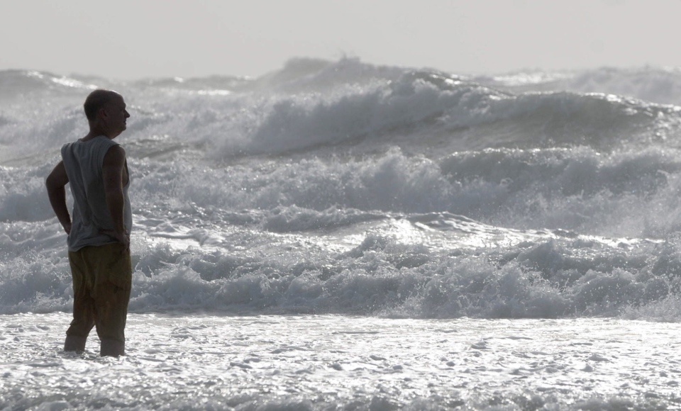
MIAMI -- After bringing rains, heavy winds and even tornadoes to parts of Florida, Tropical Storm Andrea was moving quickly toward the coast of Georgia and the Carolinas early Friday.
The first named storm of the Atlantic season was losing some intensity late Thursday and by early Friday, its winds were down to 75 km/h.
Ben Nelson, a meteorologist with the National Weather Service in Jacksonville, said Andrea was "moving at a pretty brisk pace" and could lose its tropical characteristics as early as Friday morning.
However, forecasters warned it could cause isolated flooding and storm surge over the next two days.
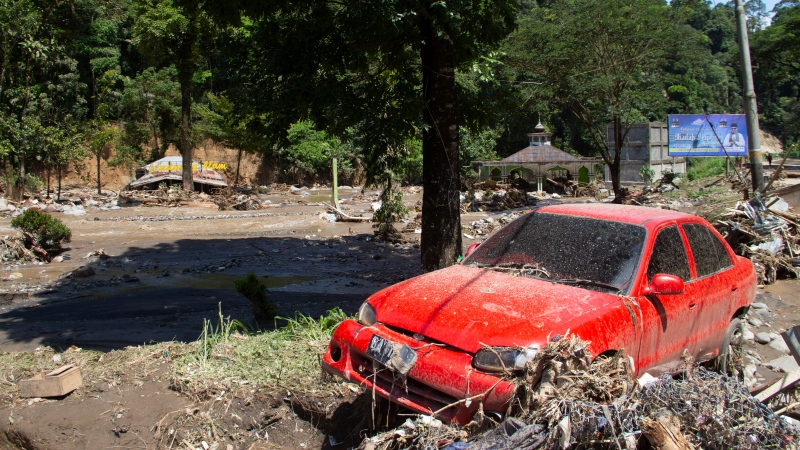
In Cuba, heavy rains associated with the storm system have soaked the western part of the island for the past several days, overflowing rivers and damaging crops. At least 30 towns were cut off by flooding, and more than 2,600 people sought refuge from the rising waters at relatives' homes or state-run shelters, the Communist Party newspaper Granma reported Thursday.
Early Friday, tropical storm warnings remained in effect for the U.S. East Coast from Altamaha Sound in Georgia to Cape Charles Light in Virginia, the Pamlico and Albemarle sounds and the lower Chesapeake Bay south of New Point Comfort. A tropical storm warning means tropical storm conditions are expected somewhere inside the warning area within a day and a half.
As of 5 a.m. EDT Friday, the U.S. National Hurricane Center in Miami said Andrea was about 50 kilometres northeast of Savannah, Ga., having made landfall a day earlier in Florida's Big Bend area. Andrea was moving northeast near 44 km/h.
In the Carolinas, Andrea's biggest threat was heavy rain, with as much as 15 cms expected, the weather service said.


