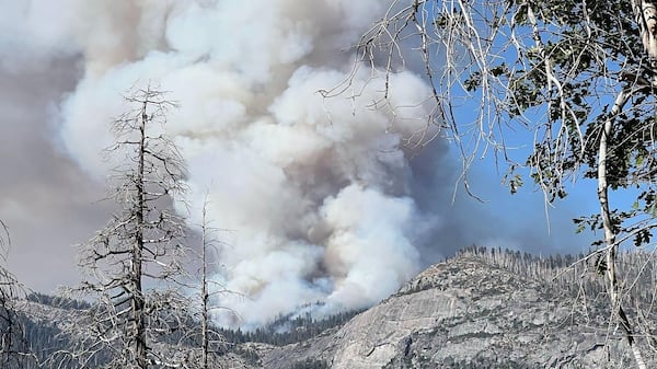
A stormy Monday morning is giving way to a much sunnier afternoon across southern Manitoba, though the risk of turbulent weather still lingers. An intense shortwave that moved in overnight from Saskatchewan looks to have tapered off in southwestern Manitoba and the Red River Valley on route to the northeast. Still, a stray rain shower or thunderstorm can’t be ruled out into the afternoon. That system could also stall out near Sprague, Shoal Lake and West Hawk areas. Environment and Climate Change Canada (ECCC) warns conditions are favourable in that region for the development of severe thunderstorms which may produce tornadoes. Strong winds, large hail and heavy rain are also possible. In the system’s wake, the south will deal with partly cloudy skies and above seasonal values in the upper 20s. Winds will be fairly strong out of the northwest at 20 km/h, gusting at times to 30 km/h. Meanwhile, some much-needed rain is expected around the Lynn Lake area, which remains under an air quality warning due to ongoing wildfire smoke in the region. Northerly winds are expected to push into the region later today, ECCC warns, which could push wildfire smoke into parts of central Manitoba on Monday night. As such, air quality warnings may expand into Thompson and Gillam. Overnight in southern Manitoba, skies are expected to clear, with temperatures dipping into the low to mid teens. Sunshine is expected to return to Winnipeg and the surrounding Red River Valley on Tuesday with near-seasonal temperatures. However, a warm-up is on the way into the back half of the week in southern Manitoba, with the mercury expected to rise once again to the upper 20s before cracking the 30 C mark into the weekend.