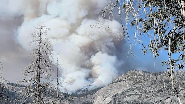
Tuesday is shaping up to be another sweltering one across Manitoba though a distinct and cool shift is already underway. The passage of a cold front early Tuesday morning means a break in those extreme humidex values, which reached about 45 on Monday. This led to a handful of Manitoba communities breaking decades old heat records. With the incoming colder air, heat warnings have lifted throughout southern Manitoba but remain in effect for central portions of the province, including The Pas, Island Lake and Norway House, where the threshold for such a warning is lower given their cooler seasonal highs. Even so, temperatures will be hot in the south with highs in the upper 20s to low 30s under a mix of sun and cloud and northwesterly winds at 20 km/h. A small chance of rain and non-severe thunderstorms looms over Brandon and Neepawa -- about a 30 per cent shot by Environment and Climate Change Canada’s (ECCC) estimation. Meanwhile, a separate low pressure system brings a strong chance of convective activity and precipitation to Churchill. The rest of the north has a slim chance of also being impacted by that system but the more likely scenario is a mix of sun and cloud and balmy, above seasonal highs in the high 20s or low 30s. Air quality warnings persist through The Pas and Wanless, as nearby wildfires continue to spread smoke throughout the region. Overnight, a low chance of rain continues in the north with temperatures dipping to the mid teens. Conversely, the chance of rain and thunderstorms intensifies overnight in the southwest as a jet stream flows over an upper ridge of pressure. These factors are expected to trigger showers and non-severe thunderstorms throughout the Brandon area. The Parkland and Red River Valley, on the other hand, are expected to experience mostly cloudy skies, moderate winds and overnight lows in the upper teens. For Winnipeg that’s 18 C, while temperatures will be a hair cooler in nearby Portage la Prairie, Selkirk and Gimli. That same system pushes further into Manitoba on Wednesday, bringing a strong likelihood of showers to the entire south throughout the day. Temperatures start to drop off alongside the precipitation, with a high of 25 C in Winnipeg and 24 C in Brandon. It’s a different story in the north with a forecast of mainly clear, sunny skies and hot highs in the upper 20s.