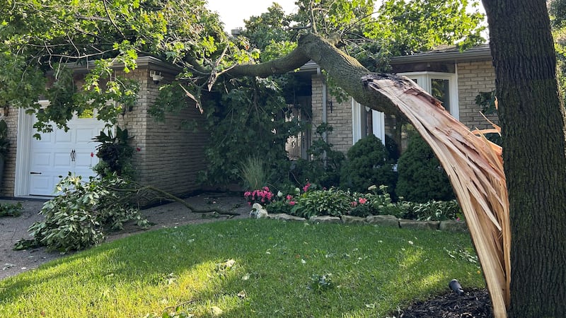
It is just the second day of meteorological summer and severe weather is possible. Hot and humid conditions are helping to fuel thunderstorms in Manitoba on Tuesday that could become severe. Environment and Climate Change Canada (ECCC) has issued an orange watch for severe thunderstorms for much of southern Manitoba, from the Saskatchewan border to the Red River Valley, excluding Winnipeg. The weather agency said ongoing thunderstorms Tuesday afternoon in southwestern Manitoba should remain non-severe. However, as the day unfolds, storms will intensify that could produce hail up to six centimetres, strong and gusty winds, and heavy rainfall. An isolated tornado or two can’t be ruled out, according to ECCC. There is also the risk of thunderstorms in Winnipeg until the overnight hours. Showers are also expected to move into the city this evening. In the meantime, Brandon could see 10-15 mm of rain from showers on Tuesday afternoon, with more on the way tonight. Temperatures in the upper teens and low 20s will return on Wednesday through Friday in the south. The heat will crank up again into the upper 20s and low 30s by the weekend. Further north, a yellow warning for heat continues on Tuesday for The Pas, Flin Flon, Norway House and Thompson regions. Daytime highs will soar close to 30 C before a cold front breaks the heat by Wednesday. To the east, hot highs approaching 30 C in the sunshine are on tap Tuesday across northwestern Ontario, before seasonal temperatures in the low to mid-20s return on Wednesday.