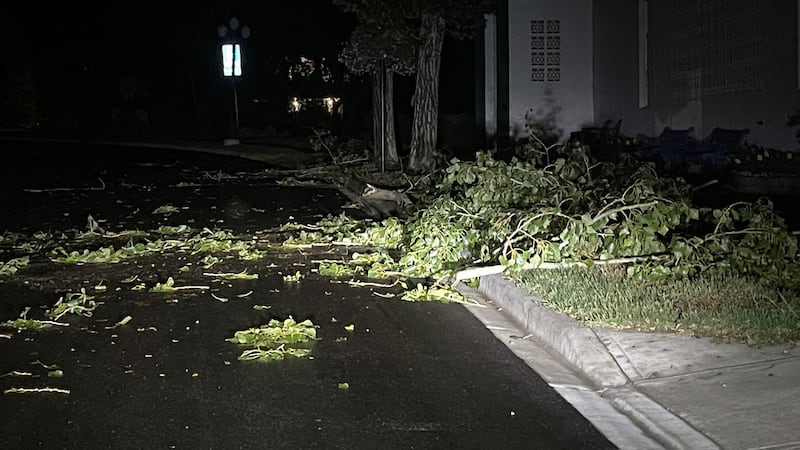
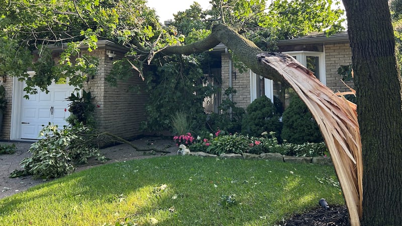
It is an unseasonably cool end to a week that’s brought disastrous weather to Winnipeg and southern Manitoba. Unsettled conditions will bring scattered showers to the region, which will otherwise see strong and gusty west winds and cool highs in the mid-teens. Conditions in northwestern Ontario will be similar Friday. Environment and Climate Change Canada (ECCC) said scattered thunderstorms are expected Friday afternoon in southern Manitoba areas near the US border. Though non-severe, ECCC warns these storms will be capable of producing heavy downpours, pea-sized hail and gusty winds. After the Emerson area experienced a severe thunderstorm Thursday that produced at least one clearly visible funnel cloud, the community and others along the international boundary should remain vigilant Friday. Meanwhile, a deluge of rain continues across northeastern Manitoba. A rainfall warning remains in effect for the area, including Island Lake, Gillam, Shamattawa and Thompson. ECCC said a stalled low pressure system will continue to bring moderate to heavy rain well into the weekend. The weather agency said another 20-30 mm is expected by Sunday afternoon, bringing total forecast amounts to 50-80 mm. ECCC warns water can pool on roads in low-lying areas, while fast-moving and rapidly rising water can sweep vehicles away and damage infrastructure. Rain or showers will also fall across the rest of the north on Friday. Flin Flon and The Pas will see sunshine return on Saturday, while showers and rain will likely continue further east. Showers from the low in the northeast could sweep through Winnipeg and the southeast on Saturday, with chilly temperatures more than 10 degrees below normal for mid-June. Sunshine and warmer temperatures closer to 20 C will return on Sunday and for much of next week.