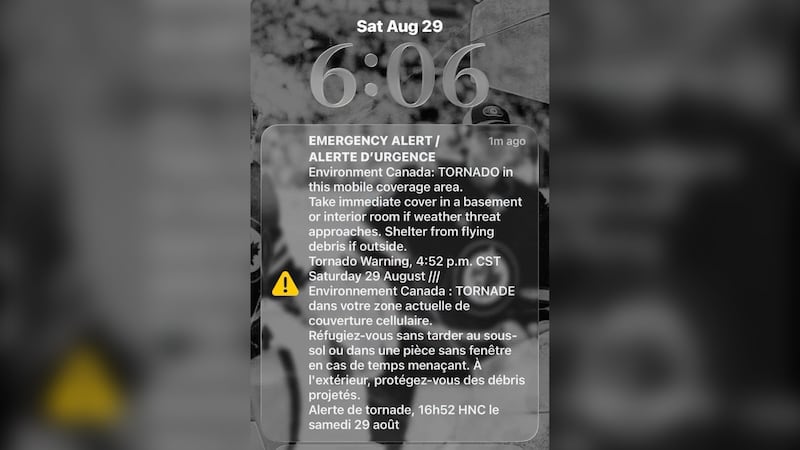
A humid summer day in Ottawa is bringing thunderstorms on Monday. Environment Canada has issued a yellow watch - severe thunderstorms, saying conditions are favourable for the development of storms that could bring strong wind gusts, large hail and heavy rain. “Thunderstorms will continue to affect the area into this evening,” Environment Canada says. “Some storms could become severe with strong winds, large hail and heavy rain. Conditions may become favourable for some storms to produce tornadoes, but confidence in any tornado threat is low.” Two tornado warning were issued earlier in the afternoon for Ottawa and Pembroke. They have since been lifted. Ottawa has seen 59.4 mm of rain so far this month, including 6 mm on Saturday. It follows 281.8 mm of rain in July. The weather forecast for Ottawa calls for a high of 25 C on Monday, with a humidex of 30. There is a 60 per cent chance of showers with the risk of a thunderstorm. Monday evening is looking cloudy with a 60 per cent chance of showers and a risk of a thunderstorm. The overnight low is 17 C. Tuesday’s outlook has a mix of sun and cloud and a 40 per cent chance of showers in the afternoon with risk of a thunderstorm. The high is 26 C with a humidex of 31. Wednesday’s forecast is partly cloudy with a 40 per cent chance of showers and a high of 25 C. Thursday could see a few clouds, some possible showers, and a high of 26 C. Friday is looking mostly sunny with a high of 24 C.