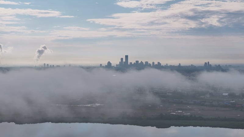
The region has had a cool and comfortable start to the day. Temperatures are warming into the mid 20s this afternoon but will be a bit cooler in areas north of London through Huron, Perth, Grey and Bruce counties. “Temperatures are hovering between 20 and 23 degrees this afternoon,” said meteorologist Julie Atchison. “Mainly clear conditions, a few fair weather clouds, clear skies and comfortable conditions tonight.” High pressure will maintain its control over the Great Lakes, and temperatures dip down between 10 and 12 degrees in most areas. “A couple single digits towards Mount Forest and Kitchener Waterloo, but a great night to keep the windows open,” Atchison added. The forecast for tomorrow brings lots of sunshine — a great way to kick off the weekend. Temperatures warming into the upper 20s in the afternoon, the high 27 Saturday, lots of sunshine early. We will see increasing amounts of cloud cover Saturday night and the chance for showers will move into the area on Sunday. Here’s a look at the rest of the forecast Thursday: Mainly sunny. High 25. UV index 7 or high. Thursday night: Clear. Low 10. Friday: Sunny. High 27. Humidex 29. UV index 9 or very high. Saturday: Sunny. High 28. Sunday: A mix of sun and cloud with 40 percent chance of showers. High 27. Monday: Showers. High 24.