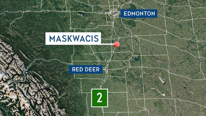
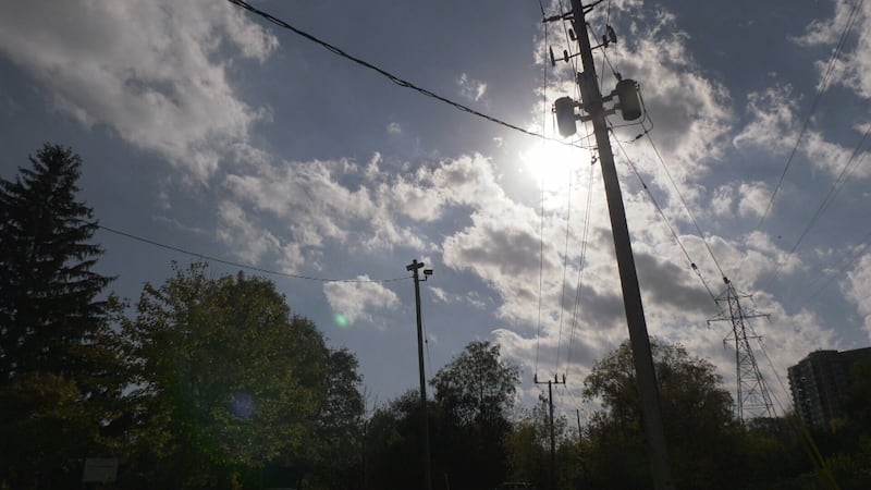
Freezing rain, rain and some mixed precipitation has developed in western Alberta and that precipitation will track east through the late afternoon and evening hours Monday. Edmonton and the surrounding area will likely see rain move through between 5 and 9 p.m. Temperatures in the city at that time will be hovering around or slightly above 0 C. Roads could turn slick through the afternoon commute, so plan to give yourself some extra time and drive according to road conditions. The city is included in a widespread freezing rain warning, but significant icing on roadways is unlikely. Watch for some icy patches, especially on side streets, sidewalks, parking lots and such. The risk of freezing rain is a lot higher outside the city, especially for areas to the north and east. Here’s a look at the areas under the freezing rain warning issued by Environment and Climate Change Canada. Further north, colder surface temperatures could lead to several millimetres of ice buildup in areas from Slave Lake southeast through Lac La Biche and the Vermilion and Lloydminster areas by late this evening to early Tuesday morning. If you have travel plans that put you on highways in those areas tonight or early Tuesday, check road and weather conditions before heading out and prepare to postpone your drive, if possible. Areas in blue on the map below are most likely to see significant ice buildup from freezing rain tonight.