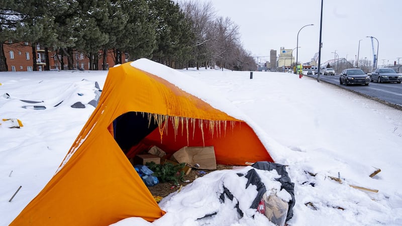
As expected, there was a major change in weather conditions from Thursday to Friday. Rain transitioned to snow overnight as strong north wind and an intensifying low-pressure system crossed into the province. The daytime high in Calgary on Thursday was nearly 19 C, and by Friday afternoon it will peak around 6 C. A large portion of the province recorded intense north wind overnight and into the morning commute, which complicated matters for visibility as heavy, wet snow was observed as coming in sideways at times. The rapid drop in temperatures created fog in portions of the province. Road conditions quickly started to deteriorate as snow and slush started to accumulate in intersections, side streets, on and off-ramps and intersections. A yellow-level wind warning was issued for portions of east and east-central Alberta, with Environment and Climate Change Canada saying damaging winds were expected. “Strong northwesterly winds gusting up to 90 km/h will develop this morning and diminish this evening. Local utility outages are possible. Driving conditions will likely be difficult. High-sided vehicles will be pushed around by the wind.” In Calgary, sustained wind speeds reached 40 km/h during the morning and could peak around 50 to 80 km/h in the afternoon. Most of that precipitation will stop falling in Calgary in the late morning or early afternoon. But strong wind and overnight lows below freezing may cause wet surfaces to ice up before the morning. More snow is possible in southern Alberta on Saturday, including Calgary. This will likely impact a smaller region than the initial moisture from Friday. Temperatures will remain below seasonal for the next seven to 10 days. Daytime highs in Calgary will range from 1 C to 5 C from Saturday until at least the start of November. The normal high in Calgary this time of year is 10 C. Overnight temperatures should sit around seasonal values. The daily lows in Calgary are expected to range from -2 C to -4 C. The normal low this time of year is -3 C.