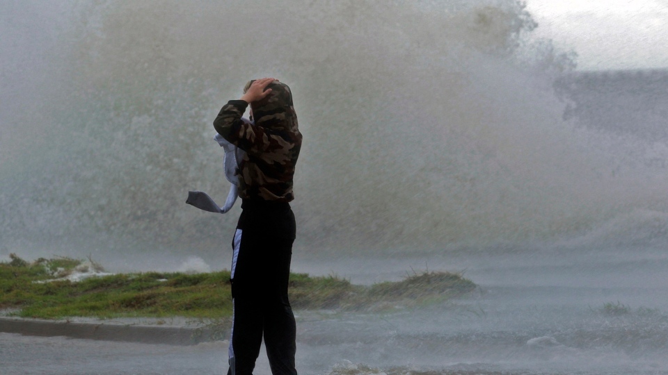
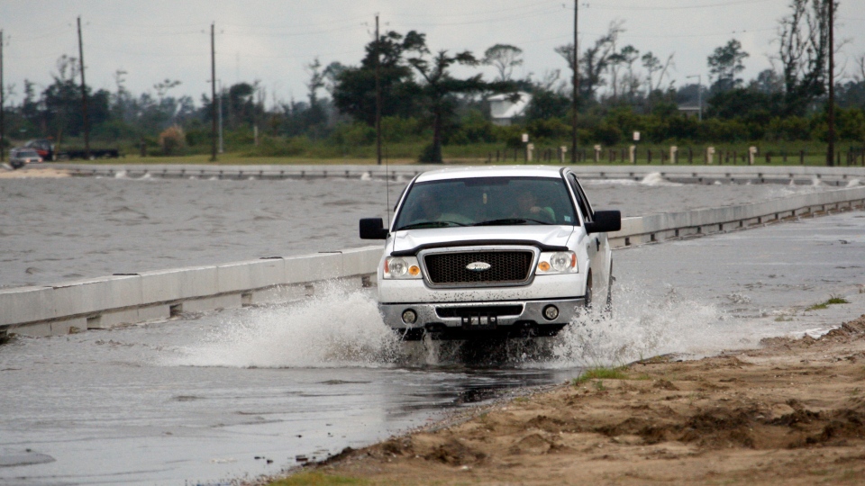
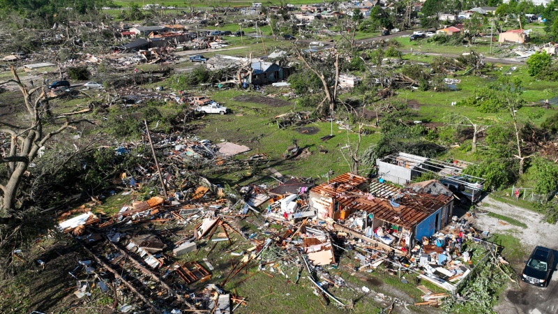
Hurricane Isaac made landfall in southeast Louisiana with howling winds of 130 kilometres per hour, causing “a dangerous storm surge” to hammer the northern Gulf Coast.
Isaac made landfall shortly before 8 p.m. ET in Plaquemines Parish, about 145 kilometres southeast of New Orleans, as a huge Category 1 hurricane, according to the U.S. National Hurricane Center. Isaac spanned more than 320 kilometres from its centre.
Late Tuesday, the centre warned of the storm surge and said “flooding from rainfall to follow.”
Residents in New Orleans had boarded up their homes and sought refuge indoors as Isaac approached on the eve of the anniversary of the devastating Hurricane Katrina.
Evacuation orders were issued for low-lying areas of Louisiana and Mississippi. By late Tuesday night, more than 200,000 homes were without power.
Ed Rappaport, the centre’s deputy director, said wind gusts could reach 160 km/h, enough to damage high-rise buildings.
The late advisory said that a storm surge of 10.3 feet had been observed at Shell Beach, La., and a surge of 6.7 feet had been observed in Waveland, Mississippi.
“The combination of a storm surge and the tide will cause normally dry areas near the coast to be flooded by rising waters,” the NHC warned.
“The deepest water will occur along the immediate coast in areas of onshore winds.”
The NHC had earlier said Isaac could deliver a storm surge of up to 12 feet to some Gulf Coast areas.
Isaac achieved Category 1 hurricane status earlier Tuesday after sustained winds of 120 kph were recorded.
Earlier Tuesday, U.S. President Barack Obama issued a disaster declaration for the state of Louisiana and called on Gulf Coast residents to take official warnings "seriously."
Obama said he had directed the Federal Emergency Management Agency to begin preparing for a possible disaster more than a week ago. As a result, supplies, personnel and plans are now in place.
Obama said he was taking every precaution and said residents should as well.
"We're dealing with a big storm and there could be significant flooding and other damage across a large area. Now is not the time to tempt fate, now is not the time to dismiss official warnings. You need to take this seriously," Obama said.
After Obama issued the disaster declaration, Louisiana gained access to emergency funding, supplies and support that might be needed in the lead-up or aftermath of the storm.
Many residents along the low-lying coast boarded up their homes Tuesday and moved inland seeking shelter, while residents of New Orleans were allowed to stay put, assured that levees reinforced after Katrina could easily withstand the storm.
Wednesday is the seventh anniversary of Hurricane Katrina's devastating arrival in New Orleans. While Katrina reached Category 5 status, and made landfall as a Category 3 hurricane, Isaac is expected to remain a less-powerful Category 1 hurricane.
Where Katrina was a concentrated ball of intense energy, Isaac is spread over a massive area.
"We're talking about a very big storm that extends some 320 kilometres from the eye of this storm," said CNN's George Howell, reporting from Gulfport, Miss.
"Forty-five centimetres of rainfall is expected through the area. Many people have left town, although you do find some who have decided to stay home and wait the storm out.”
The storm is forecast to track towards New Orleans, but hurricane warnings extended across 450 kilometres from Morgan City, La., to the Florida-Alabama state line. It could become the first hurricane to hit the Gulf Coast since 2008.’
CTV's Tom Walters, reporting from New Orleans, said that high winds were already hammering the city Tuesday afternoon.
"But certainly the city is very much on edge. A hurricane is not taken lightly here and Isaac is expected to arrive at hurricane force, likely Category 1 strength,” he said.
Forecasters warned Tuesday that if Isaac hits shore at high tide, it could deliver a storm surge of up to 12 feet along the coasts of southeast Louisiana and Mississippi.
The following storm surge levels were predicted:
- Mississippi and Southeastern Louisiana: Six to 12 feet
- Alabama: Four to eight feet
- South-central Louisiana: Three to six feet
- Florida panhandle: Three to six feet
- Apalachee Bay: Two to four feet
- Remainder of Florida's west coast: One to three feet
In at-risk coastal towns, residents stocked up Tuesday on gasoline, water, food and flashlights as they prepared for the worst.
In Houma, one of the communities considered most at risk, evacuees took shelter in a municipal auditorium.
In Gulfport, Miss., where the port was devastated by Katrina in 2005, cargo containers were moved out of the port area as a precaution.
"People are taking it seriously, they're getting out of the way," Howell said.
Meanwhile in New Orleans, Mayor Mitch Landrieu did not order a mandatory evacuation. Instead, officials urged residents to hunker down and make do with the supplies they had.
Federal officials said the levees around the low-lying city are equipped to handle storms stronger than Isaac.
Environment Canada senior climatologist Dave Phillips said the storm will likely have worn itself out by the time it reaches Canada, but that doesn't mean it won't have an impact.
"Storms will come up the Atlantic coast and it's often Atlantic Canada that will feel the brunt of the leftovers of a tropical storm or hurricane," he told CTV News Channel. "This one is going to go inland, it's going to spread moisture for the next three or four or five days right through the Ohio valley, and might actually spoil a little bit of the Labour Day weekend for parts of southern Ontario."


