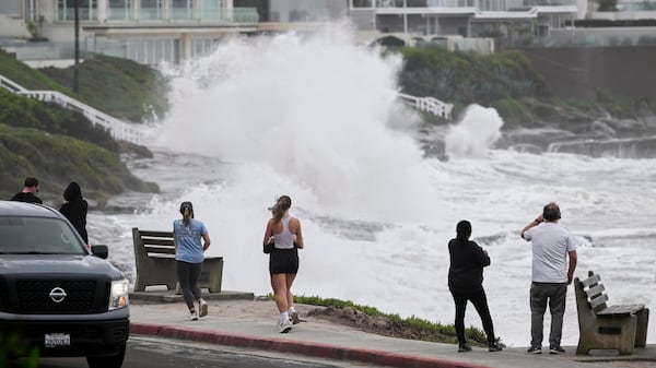
Strong winds leading to blowing snow and hazardous driving conditions are expected in Ottawa starting Monday, Environment Canada warns. The warning was issued Sunday morning and will be in effect from 11 a.m. Monday to 7 a.m. Tuesday. Wind southwest 40 km/h gusting to 70 is forecasted for Monday. “Strong winds will lead to local blowing snow and hazardous travel conditions,” the weather agency says on its website. A special weather statement is in effect for cities along the St. Lawrence River, including Kingston, Brockville and Cornwall. Strong southwesterly winds gusting of up to 80 or 90 km/h are possible, the forecaster says. “High winds may toss loose objects or cause tree branches to break. Power outages are also possible,” Environment Canada says. The weather agency calls for a high of -3 C, which feels like -13 with the wind chill Sunday morning and -8 in the afternoon, and a 40 per cent chance of flurries. Local amount 2 centimetres. Mainly cloudy skies and a low -7 C are expected for tonight. A high of -2 C and a 40 per cent chance of flurries are expected for Monday. A low of -15 C and flurries are expected overnight. Tuesday will see a high of -12 C, and a mix of sun and cloud with a 40 per cent chance of flurries. A low of -14 C and periods of snow are forecasted for the night. The average temperatures for this time of year are a high of -6 C and a low of -15 C.