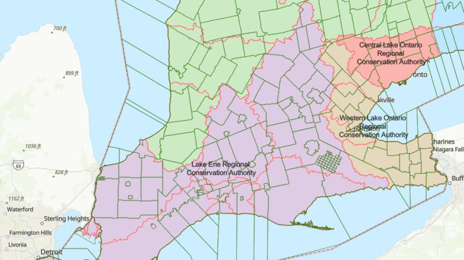
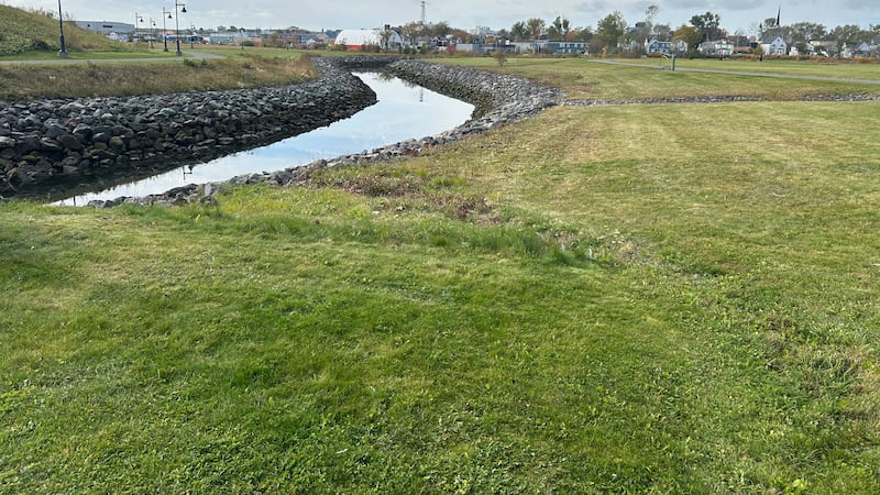
The Ontario government has released a preview of what newly-proposed conservation authorities could look like. The province previously announced a plan to reduce the number of conservation authorities from 36 down to seven. Those organizations are responsible for managing and protecting watersheds and natural resources and warning the public about any potential hazards in their area, such as flooding. The government said it wanted fewer conservation authorities because it believed the current system “is fragmented, with each conservation authority following different policies, standards, fees and levels of staffing and technical capabilities.” Waterloo Region and the surrounding areas are currently handled by several groups: the Grand River Conservation Authority, Upper Thames River Conservation Authority, Maitland Valley Conservation Authority, Conservation Halton and Hamilton Conservation Authority. The provincial government has released an interactive map of how they would like to reorganize the current structure. If that plan moves forward, Waterloo Region and its neighbouring municipalities would be almost entirely served by one organization called the Lake Erie Regional Conservation Authority. The proposal stated the Lake Erie Regional Conservation Authority would cover all southern Ontario watersheds that drain into Lake Erie, including the Thames, Grand and Sydenham systems. The idea is still up for debate and residents are encouraged to review the entire plan online and offer feedback on what they would like to see.