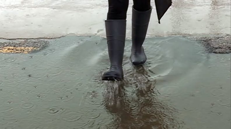
April brought above-average temperatures and significant rainfall to Waterloo Region, according to climate data released by University of Waterloo’s E.D. Soulis Memorial weather station. The average temperature for the month was more than 1.5 degrees Celsius above normal, with a stretch of warmer weather in mid-April climbing to almost 20 degrees Celsius. Total precipitation reached 130.4 millimetres, well above the long-term average of 76.4 millimetres. That makes it the sixth wettest April on record for the region and wettest since 2011. Nearly 100 millimetres of rain also fell during the first half of the month, with drier conditions in the latter half. So far this year, three of the first four months have recorded above-average precipitation. Total rainfall for 2026 now sits at 366.2 millimetres, compared to the long-term average of 264.4 millimetres. Snowfall in April totaled two centimetres, bringing the seasonal accumulation to 241.5 centimetres — significantly higher than the average of 159.7 centimetres and among the highest on record. The highest temperature recorded in April was 22.1 degrees Celsius, while the lowest dipped to -7.6 degrees Celsius. The average daily high was 13.4 degrees Celsius and the average low was 2.6 degrees Celsius, both above seasonal norms.