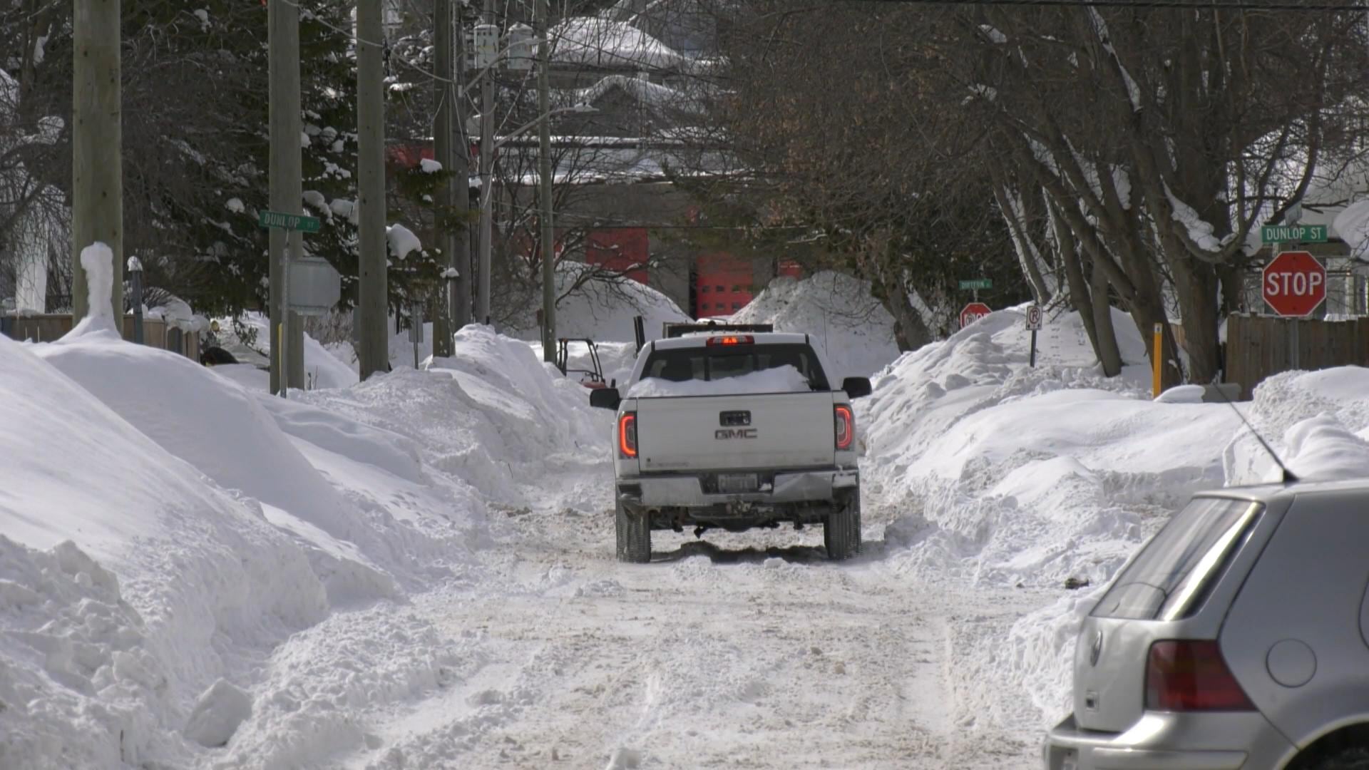
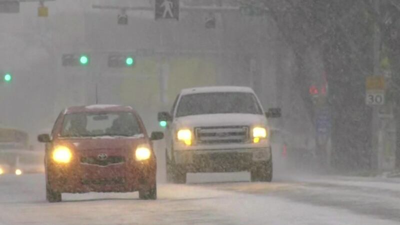
A powerful winter storm that made its way east across the Prairies on Wednesday now has southern Manitoba and a large portion of northern Ontario in its sights, with up to 50 centimetres of snow expected in some places on Thursday. An Alberta clipper, which brought travel chaos to its namesake province Wednesday, including an 80-100 car pileup on Highway 2 between Airdrie and Calgary, prompted a number of road closures and other service disruptions in Manitoba. Much of the southern part of the province, including Winnipeg and its surrounding areas, was under a blizzard warning Thursday, according to Environment Canada. “Blizzard conditions with gusty winds and visibility frequently near zero in snow and blowing snow are expected,” the department said on its website. “Travel will be dangerous and likely impossible due to near-zero visibility. There may be a significant impact on rush hour traffic.” Conditions are expected to improve in the province later today as the storm system continues to travel east. In neighbouring Ontario, a large area stretching from Manitoba to the Quebec border north and east of Lake Superior is under a winter storm warning. Some areas north of Thunder Bay could see snowfall amounts of 30-50 cm as the storm moves across the region Thursday through Friday morning, according to Environment Canada. “Snow, at times heavy, will continue to affect the area. Northerly winds gusting 50 to 60 km/h, (and) up to 70 km/h south of Lake Nipigon on Thursday will result in blowing snow,” said the department. “Strong northerly winds combined with heavy snow may lead to near zero visibility at times.” Meanwhile, a special weather statement was issued Thursday for an area south of Timmins that includes Sault Ste. Marie, Sudbury and North Bay, as rain is forecasted Thursday amid milder temperatures that are expected to fall rapidly overnight, creating a possible flash freeze. “The higher rainfall amounts are expected from Elliot Lake to Greater Sudbury to North Bay,” Environment Canada said. Rain in Quebec, cold in the West In Quebec, much of the southern part of the province is expected to be hit with heavy rain late Thursday into Friday. A large area east of the Ontario border on the north side of the Saint Lawrence River that stretches past Quebec City is under a rainfall warning, with as much as 50 millimetres expected in some places on Friday. “An increase in the flow and level of some rivers and water pooling on roads are likely,” Environment Canada said. Meanwhile, wind warnings were issued for the Montreal area and the Eastern Townships, where southeasterly wind gusts of up to 90 km/h are expected on Friday. While the winter storm that passed through the southern part of the Prairie provinces Wednesday has moved on, the northernmost regions of Alberta, Saskatchewan, Manitoba and Ontario were under cold warnings Thursday. Temperatures are expected to reach between -40 and -50 with the wind chill overnight, as “a northwesterly flow of Arctic air will bring extremely cold conditions to the region,” Environment Canada said.