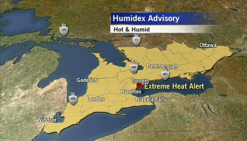
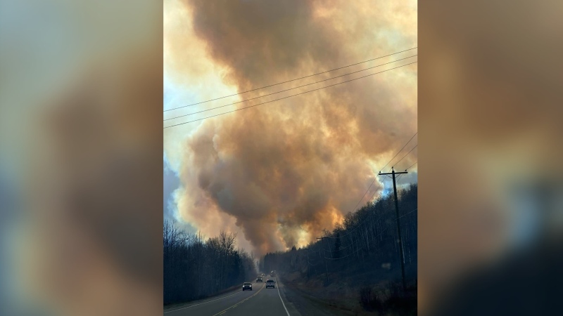
High heat and crushing humidity returned to southern Ontario and parts of southern Quebec Tuesday, but a cold front began making its way through the region later in the day, bringing high winds, rain and cooler temperatures.
In southern Ontario, daytime highs hit the high 30s Celsius, with humidex values soaring to the mid-to-high 40s. In Windsor, Ont., just across from Detroit, temperatures were forecast to hit 38 C, and with the humidity to make it feel more like 47 C.
In Toronto, temperatures hit 36 C by mid-afternoon, which broke the previous July 11 temperature record of 35.2 C set in 2011.
The city baked under a humidex of 45 C, while in Ottawa, temperatures hit 32 C, and soared to 40 C with the humidity.
Meanwhile, in Montreal, temperatures were forecast to hit 30 C, which felt more like 38 C with the humidity.
The entire region was to remain blanketed by a hot and humid air mass until Tuesday evening, Environment Canada said in a weather warning.
A cold front began moving in later Tuesday, preceded by severe thunderstorm watches and warnings, as well as tornado watches in some areas, that called for high winds, rain and even hail.
There were also tornado watches in effect for parts of eastern Ontario, including Barry’s Bay, Ottawa South, Richmond and Metcalfe, and southern Quebec earlier in the day. However, those were cancelled shortly after 6 p.m.
High winds that hit the Ottawa region Tuesday afternoon knocked out power to some 6,000 homes in Embrun, southeast of Ottawa. The Ontario Provincial Police said the wind toppled hydro poles, with some blocking roadways, but there were no injuries reported.
In Athens, Ont., north of Brockville, trees came down on top of cars and knocked out power to some 3,000 residents. Pictures taken at the scene showed what appeared to be a funnel cloud.
CTV Ottawa’s J.J. Clarke said the cold front slammed into the heat and humidity that had been hanging in the air over the region for the last couple of days, which created the unsettled weather conditions.
“And that very often will spawn these severe thunderstorms and in some cases can produce a tornado,” Clarke said Tuesday evening.
Environment Canada said the cold front would drive out the heat and humidity over the course of Tuesday evening. The agency said temperatures will return to near-seasonal normal values on Wednesday.
“It’s not necessarily record-setting humidex values that we’re seeing,” Environment Canada meteorologist Geoff Coulson told CTV News Channel. “But definitely relatively rare that we see both a combination of this high heat and high humidity all on one day.”
Severe thunderstorm watches remained in effect Tuesday evening for much of southern Ontario, from Sarnia east to Gananonque.
The watches said the storms could include large hail and damaging winds.
Coulson said this summer’s persistent weather pattern of high heat and humidity in central Canada shows no signs of abating.
“An influence from a high-pressure system over the Atlantic has had its influence spread over a high portion of the United States, the Prairie provinces, Ontario, Quebec and parts of the Maritimes,” Coulson said. “And that particular system (is) not really showing any signs of changing in any great way.”
Coulson said the same system has had a “notable” impact on parts of the U.S, which the National Weather Service says is experiencing its most widespread drought conditions since 1956.
While the heat and humidity were the most severe in Central Canada Tuesday, parts of British Columbia are also baking.
Coulson said temperatures could reach into the low 30s in parts of the B.C. interior. One of the warmest spots is Kelowna, with a daytime high of 32 C expected. By midday, temperatures had hit 28 C and felt like 31 C with the humidity.
There, temperatures were expected to remain in the low 30s for the rest of the week.
With files from The Canadian Press


