SEATTLE -- Astrid Rau just baked 16 kinds of Christmas cookies, including a batch in the shape of snowflakes. But she's nevertheless having trouble getting in the holiday spirit, thanks to balmy weather in her hometown of Perkasie, Pennsylvania.
"I associate cold with Christmas," the 55-year-old says. "And if it's warm it just doesn't feel quite right to me."
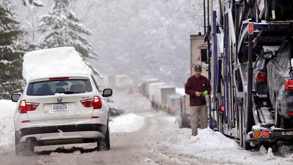
A weather pattern partly linked with El Nino has turned winter upside-down across the U.S. during a week of heavy holiday travel, bringing spring-like warmth to the Northeast and so much snow across the West that even skiing slopes have been overwhelmed. Southerners in large parts of Louisiana and Arkansas awoke Wednesday to tornado watches two days before Christmas.
In a reversal of a typical Christmas, forecasters expect New York to be in the mid-60s (more than 15 degrees Celsius) on the holiday -- several degrees higher than Los Angeles.
The mild conditions have helped golf courses in New England do brisk business, but the pattern comes at a steep cost for ski resorts that have closed and for backcountry skiers who confront avalanche risks. And like Rau, many Americans complain that it just doesn't feel like the holidays without a chill in the air.
Big parts of the county are basking in above-average temperatures, especially east of the Mississippi and across the Northern Plains. Record warmth was expected on Christmas Eve along the East Coast, said Bob Oravec, lead forecaster with the National Weather Service.
He laid the credit -- or blame -- with a strong El Nino pattern, the warming of surface waters in the Pacific Ocean near the equator. That's helped drive warm air west to east across the U.S. mainland and kept colder air from the Arctic at bay, he said.
In the Pacific Northwest and California, the effects of El Nino haven't really hit yet. They're typically seen in January through March, and the heavy rains and snows in the region are probably not linked to the phenomenon, said Washington State Climatologist Nick Bond.
In addition to El Nino, a weather pattern called the North Atlantic Oscillation is also helping keep cold air bottled up in the Arctic. Combine that with warm temperatures around the planet from man-made global warming and you have a recipe for intense weather, said Jeff Masters, director of meteorology at Weather Underground.
"There are a couple of natural patterns at work, and then there's this human-caused component too," he said.

