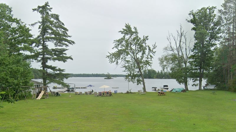
Although conditions remain mild, they are also becoming soggy across southern Manitoba on Wednesday. Expect drizzle and showers across the region this afternoon, including Winnipeg and Brandon, as unseasonably warm temperatures return for another mid-November day. According to Environment and Climate Change Canada (ECCC), a low is on the move from Montana/Wyoming that will reach southeastern Manitoba overnight. The weather agency said most of the precipitation north of the track in Manitoba will be rain, with 20-30 mm expected by Thursday morning. ECCC also noted that as temperatures drop Wednesday night, wet snow is likely in higher terrain in western Manitoba, with 5-10 cm expected over the Riding Mountains. Rain will taper off Thursday morning across the south, including Winnipeg. Showers will move into northwestern Ontario around Kenora Wednesday evening, before spreading across the rest of the region throughout the night. There is a good chance showers will continue Thursday. Wednesday will be a grey, but mild day across northern Manitoba. The northernmost regions have the best chance of light snow, including Brochet, Tadoule Lake and Churchill. Looking further ahead toward the weekend, we might just be saying that it’s beginning to look a lot like Christmas. There is a growing chance of snow or snow showers in Winnipeg.