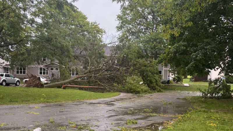
Environment Canada is tracking a major storm that’s expected to ‘pack a punch’ when it arrives in Windsor-Essex. The weather service says conditions are favourable for the development of severe thunderstorms that may be capable of producing strong wind gusts of 90 to 110 km/h, and nickel- to ping-pong ball-sized hail. Severe Weather Meteorologist Rob Kuhn says it should start early this afternoon, and it has the potential to pack quite a punch. “Similar to what happened last night and yesterday and across a large part of Southern Ontario, torrential downpours, which could produce peak rainfall rates, instantaneous of 100 millimetres an hour. Sudden, very low visibility if you’re driving. That combined with the wind could make it look like a snowstorm,” he says. The heavy wind could also lead to damage to roofs, fences, branches, or soft shelters. Kuhn says we are on the northern edge of a hot, humid air mass that’s come up from the Gulf of Mexico and produced a heat wave. “We sort of term these, unofficially, Ridge Riders. They’re sort of on the top of a heat ridge that’s just south of us, and we have a cold front coming down that will trigger thunderstorms that will be quite active this afternoon,” he says. Kuhn adds, if you’re driving during the storm, take your time or pull over when visibility is reduced, and don’t drive through flooded roadways.