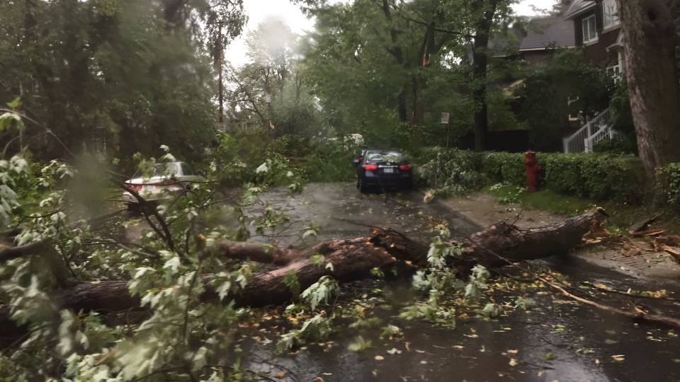
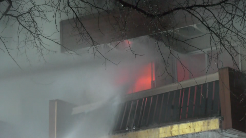
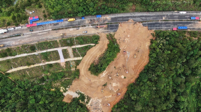
More than 63,000 homes in southwestern Quebec are without power after an intense summer storm pulverized parts of the province, with Montreal seeing 100-year-old trees toppled and homes damaged by fallen debris.
Environment Canada confirmed that a microburst, a powerful, isolated blast of downward wind from a thunderstorm, struck the Montreal borough of Notre-Dame-de-Grace.
The gusts reached 113 kilometres per hour, hitting speeds that felled power lines and ripped trees from limb to limb.
“Things were flying, trees were dropping, cars were whipping around … it was the most incredible thing I have ever seen,” witness Leslyn George told CTV News.
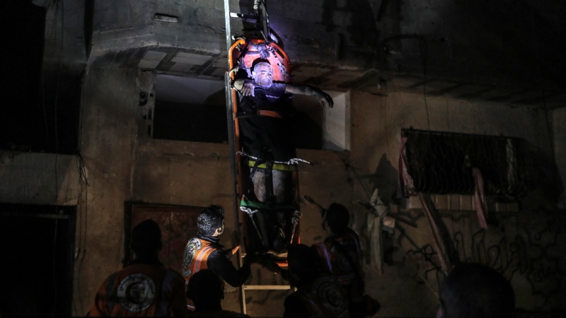
Some injuries were reported, but none were considered life-threatening. In some of the worst-hit areas, police are knocking on doors to make sure residents are alright.
The majority of the province’s 115,000 outages were reported in Montreal, with 63,000 homes affected at the peak. Outside the city, 29,000 homes were affected in the Monteregie, 14,000 homes in the Laurentians and 5,000 in Laval.
In Ottawa, another strong storm system struck the city and, for a brief time, had the community under a tornado watch. Despite some anecdotal reports of concerning cloud formations, a tornado never touched down.
Ottawa still saw its share of destruction, with trees ripped up from their roots and hailstones the size of loonies reported.
At one point, Environment Canada issued more than 20 severe thunderstorm watches and warnings across Ontario and Quebec. By 9:30 p.m. EST, those alerts were cleared.
The extreme weather was shared online as amateur storm-watchers captured the action with the hashtag #ONStorm.
One NDG resident told me he's been through the ice storm and floods - a cakewalk compared to this. @CTVMontreal pic.twitter.com/NOhMnGwMkY
— Angela MacKenzie (@AMacKenzieCTV) August 22, 2017
Monkland and Madison in NDG at hydro pole snapped in half @CTVMontreal pic.twitter.com/GfGYWt0iy4
— Angela MacKenzie (@AMacKenzieCTV) August 22, 2017
The aftermath: MTL storm pic.twitter.com/KqUfPEQWyk
— Genevieve Beauchemin (@CTVBeauchemin) August 22, 2017
Wowzer! High winds take trees down around the #ottawa area #ottstorm #ottweather #tornadowatch remains @ctvottawa pic.twitter.com/aWS1SdJ53U
— Catherine Lathem (@CatherineCTV) August 22, 2017
Holy golf ball size hail batman! Armageddon hits Ottawa day after eclipse. Hail, rain, lightening and tornado watch. pic.twitter.com/Nye5Xfl6UB
— Rob Mitchell (@gomitchell) August 22, 2017
Hail this morning in Ottawa. #ottnews pic.twitter.com/zPzWOQdLvV
— Cody G (@Codrouge) August 22, 2017
This morning's storm was incredible! This is what it looked like along the arrivals curb. #YOW #ottweather #ONstorm pic.twitter.com/SgTpRKKnfe
— Ottawa Airport (@FlyYOW) August 22, 2017
Ummm. If this could stop by the time i leave, that'd be great. #onstorm #ottweater @BlacksWeather pic.twitter.com/g62hTHHkbB
— Beka McMenemy (@mcmenebek) August 22, 2017
Stuck in this hail storm in Ottawa. pic.twitter.com/UwGhFnVglz
— Chris Hill (@ChrisLabCity) August 22, 2017
The #onstorm rolling through #Ottawa #Gatineau this morning.
— Joc Lubczuk (@JocLubczuk) August 22, 2017
Look at those awesome storm clouds!! @weathernetwork @environmentca ⛈⛈⛈ pic.twitter.com/TO1JQaPu79
Strong winds and rain in #gatineau. Lasts about 10min. Watch the umbrellas! #onstorm #ottcity #ottnews pic.twitter.com/ESlElJkvqW
— Dan ���� (@totallydan72) August 22, 2017

