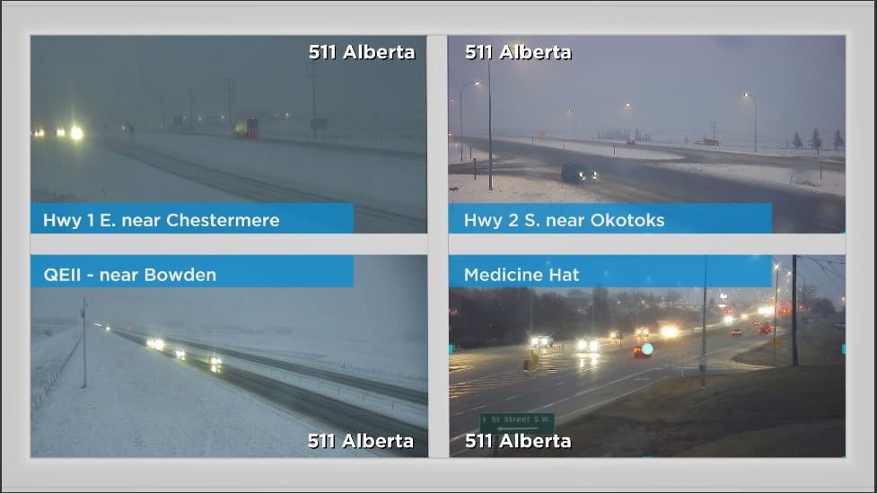
Heavy wet snow blanketed the region early Wednesday after a potent low-pressure system moved into Alberta from the south. Yellow-level snowfall warnings were issued on Tuesday – including for Calgary - and those were expanded as the system started to produce significant amounts of snow. A special weather statement has been issued north of the warning with Environment and Climate Change Canada explaining, “Accumulating snow will continue today, with total amounts of 5 to 10 cm.” Visibility was reduced due to the combination of falling precipitation, blowing snow, saturated air sitting close to the surface, and moisture being kicked up from vehicles. The snow will taper off later Wednesday with Thursday being a dry day for the Calgary area. More snow is expected on Friday when a new system starts to track in from the north and tracks south along the foothills. Temperatures will remain cool – with daytime highs sitting below freezing from Wednesday evening until the middle of next week. The normal high in Calgary this time of year is 2 C with a low of -10 C.