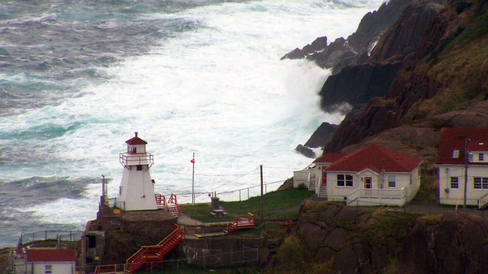
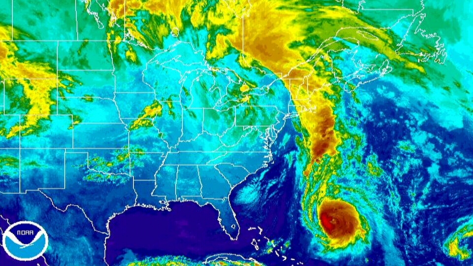
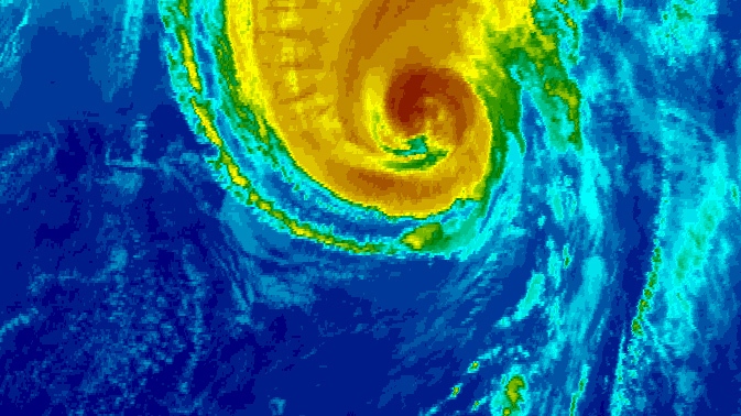
Forecasters are predicting powerful winds and heavy rains when the remnants of Hurricane Gonzalo brush the eastern edge of Newfoundland.
The province’s Avalon region could be hardest-hit by the effects of the hurricane, which is expected to be downgraded to a post-tropical storm as it passes the island’s southeastern tip beginning early Sunday morning.
According to Environment Canada’s Tropical Cyclone Information Statements information page, the storm will likely pass below Newfoundland’s southeastern tip.
“The latest indications are that Gonzalo will track very near, but just south of, Cape Race,” the agency said Saturday night. “There is still a slight chance the centre will pass over Cape Race.”
As of 8:45 p.m. ADT, Gonzalo was about 1,100 kilometres southwest of the province and moving toward Newfoundland at 57 kilometres per hour.
Tropical storm watches are in effect for the Avalon Peninsula, Environment Canada said, with heavy winds up to 80 kilometres per hour expected to hit about midnight local time.
Meteorologist Eddie Sheer said the strong gusts might not be cause for concern, but warns that a deluge could accompany them.
"The wind's not going to be a big deal, I don't think,” he said. “But I think the rain could end up being a bigger problem than what some people are currently thinking."
While Gonzalo is not likely to make landfall in the province, forecasters say the rapidly moving system could cause flooding near the peninsula.
Environment Canada is warning of rainfall rates of up to 25 millimetres per hour, which could cause flash floods.
Storm surges are also a concern for residents along the southern coast. The province spent Saturday digging ditches and spillways, said Transportation Minister David Brazil.
"We wanted to go out and look at some trouble spots that we may have had in the past, make sure all of our culverts are clear, our drainage system is ready to work,” he said. “We want to make sure we've mobilized our equipment in the right positions."
And those on land aren’t the only ones bracing for Gonzalo.
“This storm is going to be generating some very, very high waves out in the open ocean,” Canadian Hurricane Centre meteorologist Bob Robichaud told The Canadian Press Saturday, adding that waves could reach as high as 10 metres.
The Hibernia offshore oil platform, located approximately 315 kilometres southeast of St. John’s, could also be hit with strong winds. CTV’s Atlantic Bureau Chief Todd Battis said the rig is preparing for the storm, but is not being evacuated.
Hibernia and other offshore rigs, like the SeaRose and the GSF Grand Banks drill rig, are built to withstand severe weather, he said.
Battis said some residents in the path of the storm have begun stockpiling supplies and refuelling generators in preparation for a possible power outage.
As well, Newfoundland Labrador Hydro officials have extra crews on hand to monitor the storm, Battis said.
Gonzalo pounded Bermuda as a category 2 storm on Friday, packing 175 kilometre-per-hour winds that knocked out electrical power. There were no reports of serious injuries caused by the storm.
With files from The Canadian Press and CTV Atlantic

