Right now, many Canadians are likely thinking, “April is the cruellest month.”
Those words definitely ring true across much of Canada, where despite spring officially beginning on March 22, wintery weather is still holding many of us in its icy grip.
According to Environment Canada, moreover, it could be at least another two weeks before temperatures rise to normal levels.
Winnipeg, for example, will experience temperatures of minus 16 degrees Celsius overnight Tuesday, which is more than 10 degrees lower than the city’s average April 3 low, Environment Canada data shows -- and that’s not even taking the bitter wind chill into account.
The situation is much the same elsewhere in the Canadian prairies, where daytime highs are about 10 degrees colder than normal for this time of year.
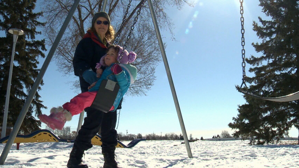
“It’s a little bit ridiculous for April,” Peggy Breckenridge said from Edmonton. “But at least the sun is out and it’s not windy.”
Environment Canada also issued weather warnings for much of Southern Ontario, Quebec and New Brunswick Tuesday for everything from winter storms to strong winds to heavy rain, snowfall and freezing rain.
This adverse weather is part of the same system that is currently pummelling the Midwestern U.S. Elsewhere in that country, New York City just recorded its heaviest April snowfall since 1982.
The cold is being locked in over parts of North America by a weather system known as a polar vortex. In other words, a huge high pressure ridge of Siberian and Arctic air is currently stuck in place over a significant swath of the continent, thus preventing warmer weather from moving in.
“We’re not going to see our temperatures rise back to normal for at least two weeks,” Environment Canada meteorologist Natalie Hasell told CTV News Tuesday. “And there are some forecasts suggesting longer than that.”
That means it could be the end of the month before Canadians get the pleasant balmy spring they’ve been waiting all winter for.
With a report from CTV News Manitoba Bureau Chief Jill Macyshon

