Parts of Atlantic Canada will be hit with a major winter storm overnight and into Saturday as a low-pressure system from New England closes in on the region.
The storm is expected to come with high winds and blowing snow that could result in an accumulation of 30 centimetres, particularly in New Brunswick.
Other parts of the Maritimes aren't expected to be slammed as hard, with snow turning to ice pellets and then rain in parts of Nova Scotia.
About 15 cm of snow could accumulate in regions of Newfoundland late on Friday. The heaviest snow will be in the Green Bay to White Bay region of the province.
Toronto escapes snow storm
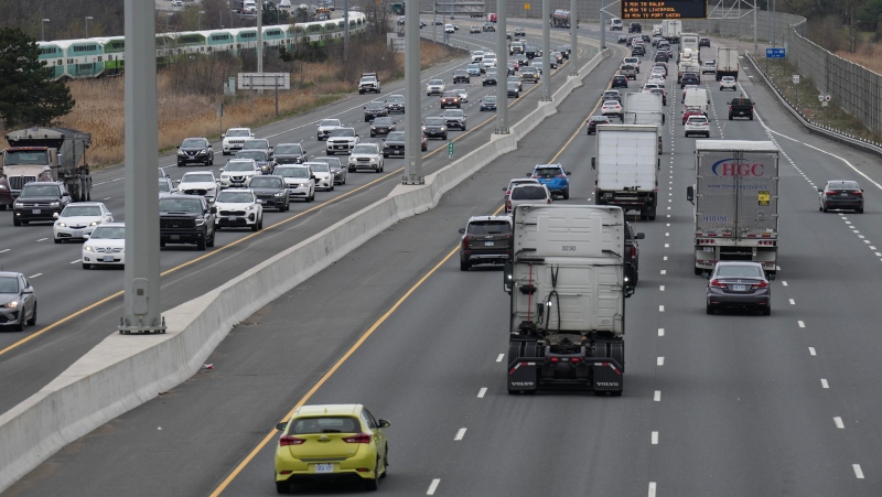
Meanwhile, the low-pressure system moving through southern and eastern Ontario didn't leave much snow in its wake. The Greater Toronto Area saw mostly rain and the snow that did fall melted as it hit ground amid temperatures hovering above freezing.
Heavier snow was falling west and north of Toronto. Environment Canada was still calling for accumulations of about 3 cm in the Toronto area.
Pearson Airport and Centre Island airport (Billy Bishop) warned there could still be fight delays or cancellations.
School buses were cancelled in areas west of Toronto and all school transportation was shut down in the Waterloo region.
Online reaction
Twitter didn't let meteorologists off the hook in the GTA after dire predictions of heavy snow the day before never materialized. The city had about 1,500 workers on standby to battle the expected storm.
Many people posted entertaining tweets under the hashtags #snowmageddon and #citystorm.
"Snowless Snowstorm strikes GTA. Cities shut down because they are not sure what to do. Or they just want Friday off," tweeted @bmanolakos.
And @tamera weighed in with, "So when they were talking about #Snowmageddon what they really meant was #drizzlemaggedon? Just checking."
Warnings across the country
Weather warnings were issued earlier by Environment Canada that included B.C. and Manitoba, southern and eastern Ontario, parts of Quebec and the East Coast.
That prompted the Canadian Avalanche Centre to issue a special warning for the B.C.'s backcountry Thursday that won't be lifted until Monday. It covers much of the mountainous regions from the Cariboos to the north and south Rockies.

