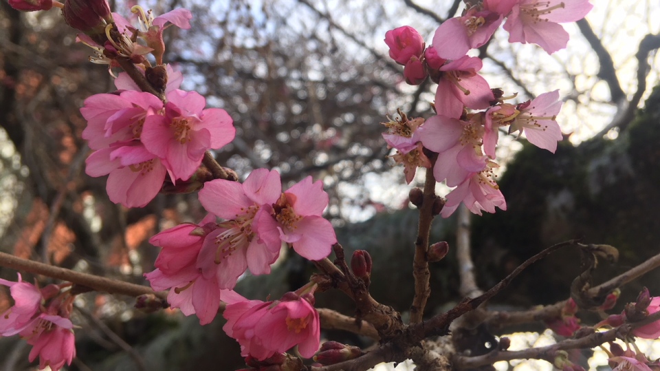
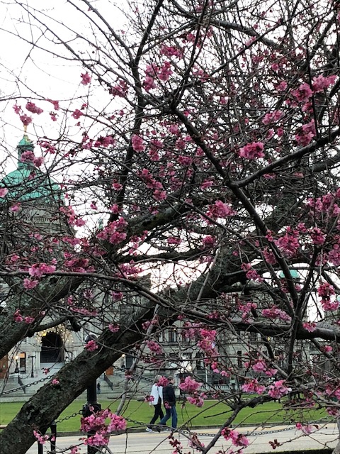
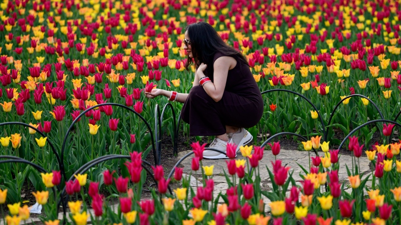
It’s January in Canada, and the cherry blossoms are blooming. No, really.
While much of Canada shivers through a late-January deep freeze, conditions on Vancouver Island feel more like a slightly chilly spring day.
Temperatures have been warm enough this winter that the city’s cherry blossoms, which normally don’t bloom until mid-February at the very earliest, are starting to showing themselves off.
Environment Canada was reporting a temperature of 2 C in Victoria as of 5 a.m. PST Monday, even though sunrise was nearly three hours away. Things were even warmer 60 kilometres to the west in Sheringham Point, B.C., which was the country’s hotspot with a recorded temperature of 8.6 C.
At the same time, temperatures of -18 C or lower were being reported from Saskatchewan clear through Quebec City. Armstrong, Ont., which is located north of Thunder Bay, Ont., was the country’s cold spot at -47 C.
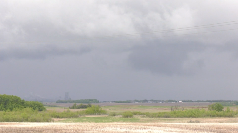
The frigid temperatures mean cherry blossoms are months away from flowering in most of Canada, but the forecast for much of Ontario and Quebec comes with a cherry on top, in the form of a weather system expected to dump as much as 25 cm of snow on parts of Central Canada.
According to Environment Canada, Toronto was likely to see 15 to 20 cm of snow between Monday night and Tuesday morning, Ottawa 10 to 20 cm on Tuesday, and Montreal 15 cm or more by Tuesday night followed by more snow on Wednesday.
The seven-day forecast for Victoria, meanwhile, was showing highs of 7 C or 8 C for every day as of Monday morning.

