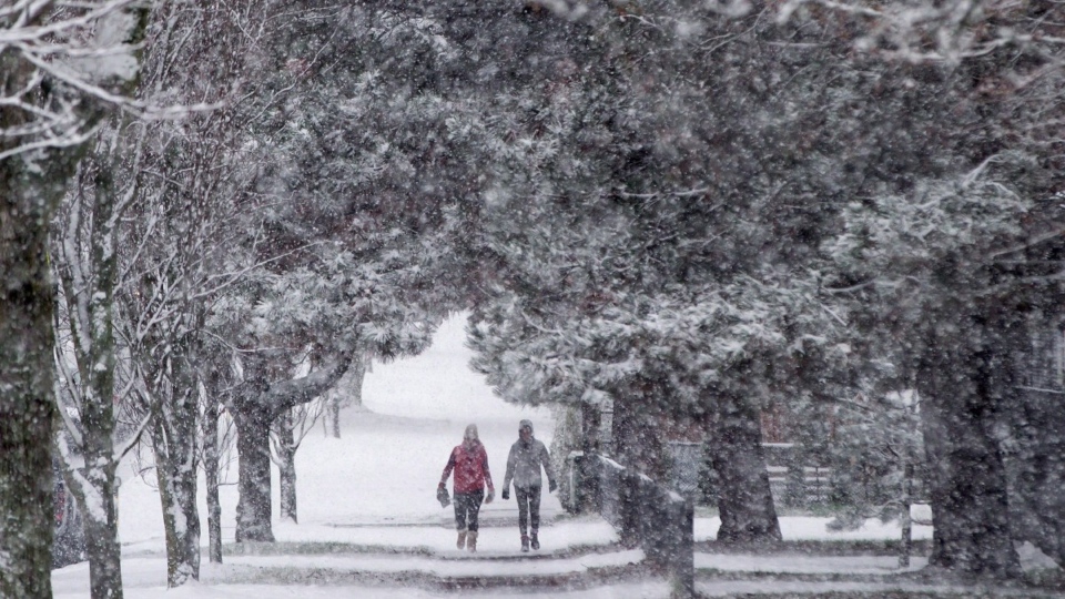
A prominent Canadian forecaster says the country's residents could experience everything from winter wonderlands to spring-like spells in the months ahead.
The Weather Network says cooler Pacific Ocean temperatures off the coast of South America, also known as "La Nina," will create a strong jet stream separating warm southern air masses from their colder northern counterparts.
Chief Meteorologist Chris Scott says this means most Canadians can brace for a wildly variable winter with major departures from seasonal norms.
In British Columbia and the Prairies, for instance, Scott says forecasters are calling for above-average snowfall levels and temperatures below seasonal norms.
He says major swings in both temperatures and precipitation levels are on tap for Ontario, Quebec and the Atlantic provinces, with stretches of both extreme cold and unusually mild air forecast alongside a mix of storms and dry spells.
Scott says Newfoundland and Labrador and northern Canada are slated to buck the trend, with the eastern-most province set to experience a more typical winter while colder than average conditions are expected across all three territories.
But Scott said the long-term patterns may not be evident at first, since the December forecast is calling for conditions that defy the overall forecasts. In broad strokes, he predicted an overall milder month for western Canada with more wintry conditions likely in Ontario and points east.
"It's going to be quite a winter," Scott said in a telephone interview. "A lot of extremes within the given regions. And if you're talking to your friends or family back east or out west, you're probably going to have a very different experience from week to week as the weather changes across the country."
This report by The Canadian Press was first published Nov. 30, 2020


