
After years of extreme flooding and evacuations each spring, the federal, Ontario, Nishnawbe Aski Nation and Kashechewan First Nation governments have reached a framework agreement that includes exploring options to move the community to higher ground.
Why do evacuations happen every year?
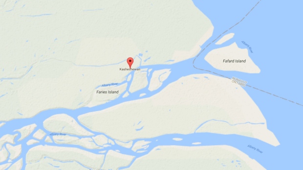
The spring evacuation of Kashechewan is an almost yearly occurrence. The Cree reserve sits right on the northern bank of the mighty Albany River near the mouth of James Bay. The river frequently gets jammed by the breakup of the ice in the spring, which leads the fast-flowing water to rush over the banks. An old dike often cannot handle the water flow and an assessment two years ago found the structure was in danger of collapsing.
Why is Kashechewan located in a flood-prone area?
To answer that question, you need to know the history of the Kashechewan First Nation.
In 1905, the Fort Albany First Nation, a Cree First Nation that resided at a Hudson’s Bay trading post, signed Ontario’s Treaty No. 9, which established its lands around where the Albany River met James Bay. It was divided into two groups that shared the same leadership: one group was largely Roman Catholic and the other Anglican.
In 1957, officials forcibly relocated the Anglican group to the northern shoreline of the river, despite it being flood prone, as journalist Alexandra Shimo described in her book “Invisible North.” The community chose the name Keeschewan, which is Cree for “where the water flows fast.” However, officials misspelled the name as Kashechewan.
The other group, known as Fort Albany, is located further south.
(Google Maps)
How does the evacuation work?
Commercial and military planes and helicopters airlift out the most vulnerable residents to other northern communities, such as Timmins, Wawa, Smooth Rock Falls, Fort Frances, Matachewan, and Kapuskasing, Residents have even found themselves as far south as Stratford. They are away from home for weeks, sometimes as long as two months, interrupting the education of Kashechewan children.
In 2014, it was estimated the evacuation operation cost $21 million. More was spent on the inspection, cleaning and repair of buildings damaged in the flood.
Has there been talk of relocating Kashechewan before?
More than a decade’s worth. As far back as 2005, the federal government has considered moving the reserve to higher ground. The First Nations community got behind a Liberal plan to move the community about 30 kilometres upriver, which would still be in the area of their ancestral hunting grounds.
But a change in government had the Conservatives nix that estimated $500 million idea, arguing the region was still in the flood plain. It advocated relocating residents to Timmins. That plan was not supported locally and Ottawa ended up spending $200 million to fix housing at Kashechewan.
What is in Kashechewan?
The community is only connected to the outside world by water and winter ice roads. It has an elementary school and high school, an arena, a sports field and St. Paul’s Anglican Church. Homes are generally one-storey fabricated homes or trailers. There is one store, bigger than an arena, that sells everything from produce to tools.
Is flooding the only issue?
No. Like other remote First Nations communities, Kashechewan struggles with mental health issues, poverty, addiction and suicide. In 2005, more than 800 people had to be evacuated over E.coli in the water. Chlorine levels in the water were also blamed for serious skin problems, including impetigo and scabies. Widespread mould in homes caused by repeated flooding is blamed for more skin infections and breathing problems.
In 2007, reports of the suicide attempts of 21 young people on the reserve made national headlines.


