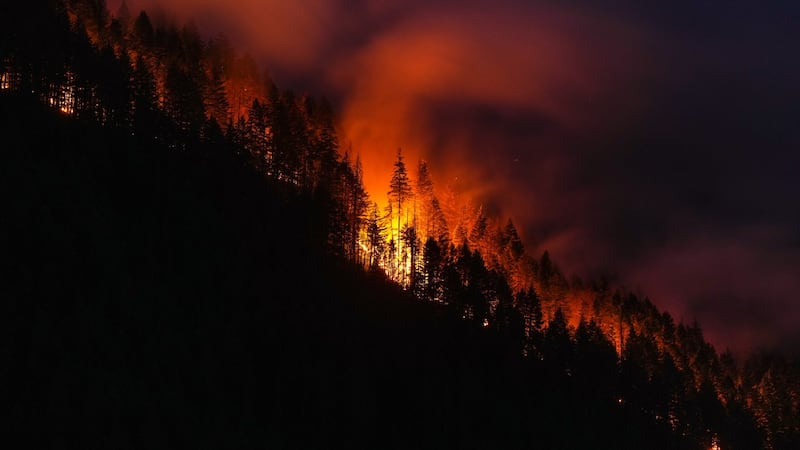
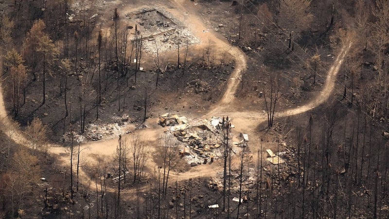
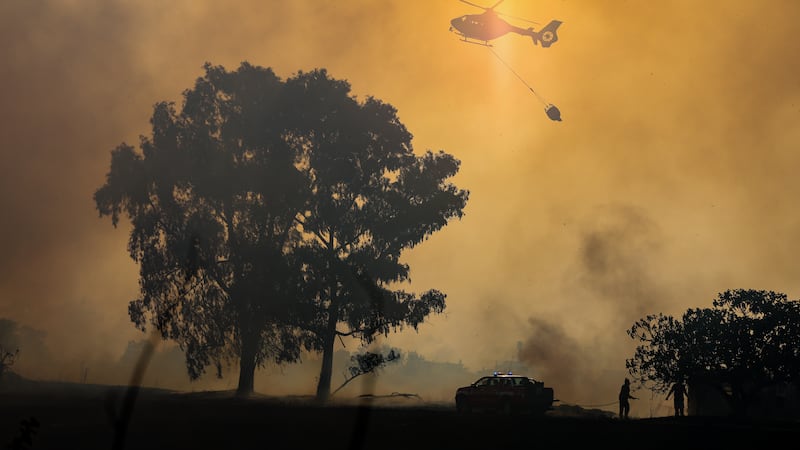
A brief period of instability will lead to some active weather for a good portion of Alberta on Monday. Showers, thunderstorms, nickel-sized hail and strong wind are all likely with any storms expected to be fast-moving. Central Alberta could see wind gusts near 100 km/h when a frontal system tracking west to east across the region meets up with a trough extending from northern Alberta to southern Alberta. Calgary may experience light and scattered showers and thunderstorms in the afternoon, but these are not likely to be as severe as storms expected to form in northern and central Alberta. The hot, dry weather over the past few days has prompted increased risk ratings on the “Fire Danger Relative Index” along the Alberta-Saskatchewan border. The Fire Danger Relative Index is an assessment of how easy it would be for vegetation to ignite, how difficult it would be to control a wildfire, and potential damage from a wildfire. As of 7:30 a.m., the entire eastern border was rated as an “extreme” risk. As of 7:30 a.m. Monday, a heat warning remains in place for the northeast corner of Alberta – including Fort McMurray. Both the daily highs and lows are expected to remain well above seasonal in Calgary until the weekend. The average high this time of year is just shy of 18 C with a low near 5 C.