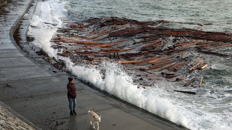
Conditions will remain pleasant across southern Alberta with daytime highs in the mid-teens by the middle of the week—values that are well above average. In Calgary, the daytime high on Tuesday will reach 11 C, which is seven degrees warmer than the normal high this time of year. Similar to Monday, there will be a mild wind on Tuesday, with sustained speeds around 10 to 15 km/h and wind gusts closer to 30 or 40 km/h. It will remain dry across the region for the next couple of days, despite more moisture forecast for the other side of the Rockies. The rain, snow and mixed precipitation in southern B.C. on Tuesday and Wednesday are the remnants of another strong system that has already started to impact the west coast. According to the national weather agency, “A very robust frontal system continues impacting Vancouver Island today. Rainfall rates will intensify this afternoon and persist overnight and for much of Wednesday, reaching up to 10 to 15 mm/h, possibly up to 20 mm/h, at times.” That intense low-pressure system from the Pacific basin is driving moisture into the already saturated southwest portion of British Columbia. Orange and yellow-level rainfall warnings have been issued with between 120 and 160 millimetres of rain expected in some areas near Whistler and between 200 and 250 millimetres possible in places like Vancouver Island. This is the third moisture-laden system to impact that region in less than a week. Periods of intense and persistent rainfall have saturated the ground, so there is concern about where this additional water will go. In their rainfall warnings Environment and Climate Change Canada (ECCC) explained, “Localized flooding is likely. Some roads may become impassable. Visibility will likely be suddenly reduced at times. Landslides may occur in vulnerable areas such as steep slopes, deforested areas or recent burn scars.” The rain should taper off in southwestern B.C. briefly before another system hits that same region at the end of the week. Forecasters from ECCC note, “Precipitation rates will ease Wednesday afternoon, but periods of light to moderate rain continue on Thursday, and another weather system approaches the island on Friday.” The Remembrance Day forecast will be warm but windy in Calgary, with a daytime high of 16 C and temperatures around 11 C by the late morning. Sustained southwest winds of 20 to 30 km/h are expected with gusts closer to 40 to 60 km/h. Overnight temperatures will remain above freezing for most of the next week, and at times the overnight lows in Calgary will exceed the average daytime high of 4 C. The normal low in Calgary this time of year is -8 C.