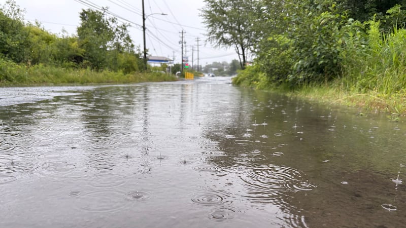
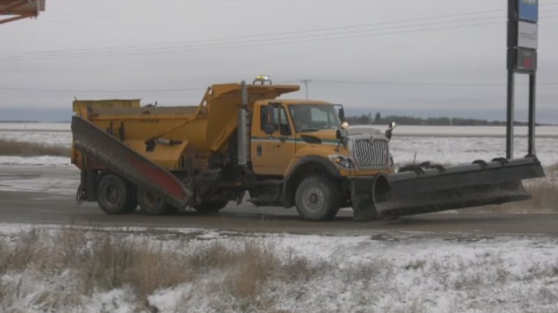
Portions of the Canadian Prairies will be impacted by what could be one of the largest storms this year. A strong surface low-pressure system tracking north and east through Alberta will crash into an intense cold air mass east of the Rockies—and this highly unstable system will eventually feed into a complex of low-pressure systems in Saskatchewan. This will lead to rapid intensification as anchoring high-pressure systems force that trough to close and sit in place for at least a day. A strong north wind will accompany that cold air, driving temperatures down to below the freezing mark in all atmospheric layers—including at the surface. Persistent moisture will feed into this low, and when it falls through those colder layers, rain will transition to snow. Environment and Climate Change Canada (ECCC) has issued yellow-level snowfall warnings for the southwest portion of Alberta, explaining rain will change to snow tonight before “heavy snow is expected tonight, with total amounts of 15 to 20 cm.” Yellow-level wind warnings have been issued for the southeast corner of Alberta and the southwest portion of Saskatchewan. “Strong winds gusting to 90 km/h are expected tonight and Thursday morning.” Heavy rain is expected in eastern-central Alberta on Wednesday, prompting ECCC to issue yellow-level rainfall warnings. “Heavy rain is expected today, with total amounts of 25 to 30 mm. Rain will intensify this morning.” Localized flooding is one of the concerns around this rain since the frozen ground will be unable to absorb that much rain at the rate it is falling. “Water will likely pool on roads and in low-lying areas. Avoid low-lying areas. Watch for washouts near rivers, creeks and culverts.” That rain is expected to transition to snow once temperatures start to fall. Road conditions will be impacted where wind and snow combine—with both orange- and yellow-level winter storm warnings being issued for portions of north and central Saskatchewan. Intense periods of freezing rain are expected on the southern and southeastern portions of this low—with five to 10 milimetres of ice accumulation possible—an amount that would likely cause major issues for power lines and/or hydroelectric infrastructure. As such, orange-level freezing rain warnings have been issued for portions of Manitoba. Widespread special weather statements have been issued across Saskatchewan—including for major centres like Saskatoon, Moose Jaw, and Prince Albert. Thunderstorms are possible Wednesday night before rain transitions to snow across the province. “This will be a prolonged snowfall event, with snow lasting into Saturday. Total snowfall accumulations of 10 to 15 cm are possible.” Portions of northern Saskatchewan have either yellow- or orange-level snowfall warnings with as much as 30 to 50 centimetres of snow possible. Strong wind will impact visibility in most areas and cause some of that accumulated moisture to freeze on surfaces. At this point, Calgary is expected to sit along the western edge of the heaviest bands of snow, but some precipitation will fall over the next few days. It is possible Calgary could see higher accumulations if that system spreads further west than anticipated. Rain is expected to transition to snow in Calgary on Wednesday, with north winds of 40 to 60 km/h expected Wednesday and continuing into Thursday. Daytime highs will be well below seasonal, peaking around the freezing mark on Friday through Saturday.