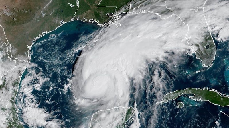
Heavy snow and high wind will continue to impact the Maritimes Monday evening and night as a powerful Nor’easter moves north and along the Atlantic coastline of Nova Scotia. The storm is strong enough that it has generated some “thundersnow” on the south shore of Nova Scotia. That is the occurrence of small, embedded thunderstorms within the snow and is relatively rare. Thundersnow is often associated with very high snowfall rates. Heavy snow By early evening, most of the Maritimes will be experiencing heavy snowfall. The exception will be northern and western areas of New Brunswick, which are expected to receive lighter snowfall. Atlantic coastal Nova Scotia can expect a turn to rain by mid-evening. Rain will mix with the snow for the remainder of the province later Monday night. The heaviest of the snow wraps up overnight for most of the Maritimes. There will be lingering areas of snow and flurries on Tuesday. Most areas under a snowfall or winter storm warning can expect snow totals of 15-to-25 cm. Exceptions include the south shore of Nova Scotia and parts of Halifax County that could pick up 25-to-40 cm of snow. The Moncton area in New Brunswick could finish closer to 30 cm of snow, same for parts Prince County in Prince Edward Island. Higher snow amounts of 25-to-40 cm are also possible for parts of Cape Breton, particularly Victoria County. The snow will be heavy and wet in Nova Scotia while there will more of a “typical” snow for southern New Brunswick and Prince Edward Island. The snow may be more “powdery” for northern and western areas of New Brunswick. Be sure not to overstrain clearing the snow. Take breaks as needed. High winds As the central pressure of the storm falls below 970 millibars, the strong pressure gradient created around it will drive a high and gusty northeasterly wind. For most of the Maritimes, the strongest winds will be present Monday evening up until around midnight. Peak gusts for much of the region will be 40-to-70 km/h, but as strong as 70-100 km/h around the Bay of Fundy coastline of New Brunswick, Atlantic coastline of Nova Scotia, and near 80 km/h for P.E.I. Due to the topography of the Cape Breton Highlands, gusts will reach over 120 km/h for Inverness County from Margaree Harbour to Meat Cove. The strong winds will create periods of blowing and drifting snow, further reducing visibility. They will also contribute to an increased risk of power outages. The wind becomes northerly on Tuesday, with gusts of 30-to-60 km/h for the region. Coastal conditions The strong, northeasterly wind will be an onshore wind for much of the Atlantic coastline of Nova Scotia. A coastal flooding statement was issued by Environment Canada for that part of the Maritimes. Waves of 5-to-7 metres may break on approach to the shoreline. The increased wave action will lead to higher-than-normal water levels during the evening high tide. The rough surf will diminish through Tuesday.