

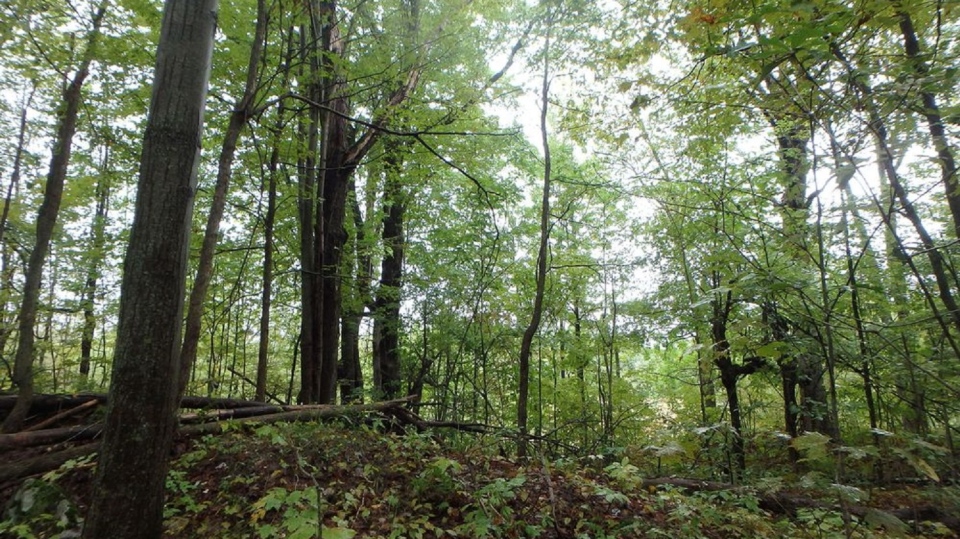
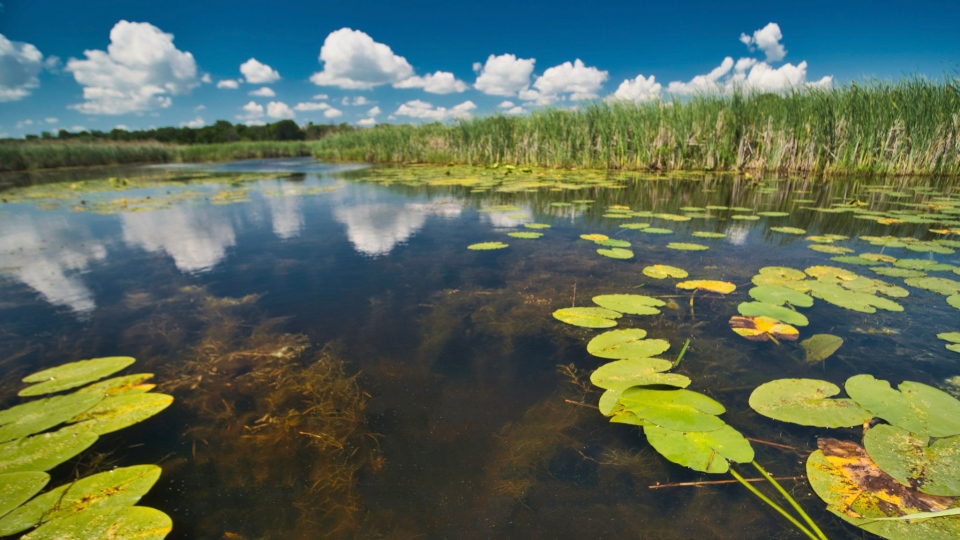
TORONTO -- A recent study has found that hundreds of species in nine ecoregions across Canada are threatened by habitat and biodiversity loss due to climate change.
The study, conducted by the Nature Conservancy of Canada (NCC), analyzed nine "crisis ecoregions" in southern Canada housing diverse wildlife and habitats that are at risk of being lost amid global warming and increase in human activities, coupled with a lack of conservation efforts.
The findings were published March 3 in the journal Biodiversity and Conservation.
Dan Kraus, senior conservation biologist with the NCC and author of the study, told CTVNews.ca that these threatened ecoregions include many of Canada’s largest cities, such as Toronto, Ottawa, and Montreal, as well as many smaller areas including Red Deer, Brockville, and all of Prince Edward Island.
"These regions score very high compared to other regions in southern Canada for their diversity of wildlife, the number of endangered species, important elements of biodiversity, but they're also places where that biodiversity is under a high degree of risk," Kraus said in a telephone interview on Tuesday.
He explained the threats to biodiversity vary based on region, but the main concern is habitat loss to urbanization as well as the conversion of natural environments to croplands. Kraus said this impacts wildlife, as well as Canadians.
"When we lose those habitats, we lose wildlife and we lose the benefits that nature provides to people," Kraus said.
He added that the loss of natural habitats will have a trickle-down effect, leading to loss of species in some cases and a lack of clean water for human use.
"Nature provides important services to people. So some of these regions when we're getting down to under 20 or 15 per cent natural cover, there's a lot of benefits that nature provides that we're losing like cleaning our water, holding back floodwaters, absorbing carbon, protecting coastal communities from sea level rises and storm surges," Kraus explained.
Emily Giles, a senior species specialist for World Wildlife Fund Canada (WWF) who was not involved in the study, told CTVNews.ca that these at-risk regions actually help fight against climate change by storing carbon in their ecosystems.
"When these areas are destroyed, carbon is released back into the atmosphere and accelerates the climate crisis. It is therefore critically important that we protect these habitats due to duel benefit they can bring for both biodiversity and the climate," Giles said in an email on Wednesday.
Giles noted that it is not only up to governing bodies, conservation organizations, and businesses to protect these areas; she says Canadians can also be part of the solution.
She explained that Canadians who live in regions that have experienced a high amount of biodiversity loss can work to "build nature back" be recreating some of the habitat that has been destroyed.
"This can be done by planting wildlife gardens and making sure that you plant native plants and trees at home, as these plants are the plants that animal species need for food and shelter," Giles said. "Even if you live in an apartment you can plant native plants on your balcony and help create habitat for bees, butterflies, and birds."
Giles said it is also important that we "use our voice to make sure that Canada upholds it’s commitments to protecting 30 per cent of our lands and waters by 2030" and advocate that these ecoregions be prioritized for protection.
These are the "crisis ecoregions" the NCC has identified in its study:
LAKE ERIE LOWLAND
According to the NCC, the Lake Erie Lowland ecoregion includes Toronto, Hamilton, St. Catharines, Niagara Falls, Windsor, Sarnia, London, Chatham, and Brantford. The area is also part of a larger ecoregion south of Lake Erie known in the U.S. as the Great Lakes Forest ecoregion that includes parts of Ohio, Indiana, Michigan, Pennsylvania, and New York.
The NCC reports that there are over 130 national species at risk in the ecoregion, including the prothonotary, warbler, redside dace, and eastern ratsnake. The organization says many of these at-risk species only live in this region of Canada. According to the study, the Lake Erie Lowland is one of the most altered ecoregions in Canada, with only 14 per cent natural cover remaining.
The study notes that there is limited opportunity here for large-scale conservation with much of the land being privately owned, and rising prices increasing the costs of land securement. The NCC says biodiversity conservation in this region will require partnerships with local governments, the agricultural community, and cities.
EASTERN VANCOUVER ISLAND
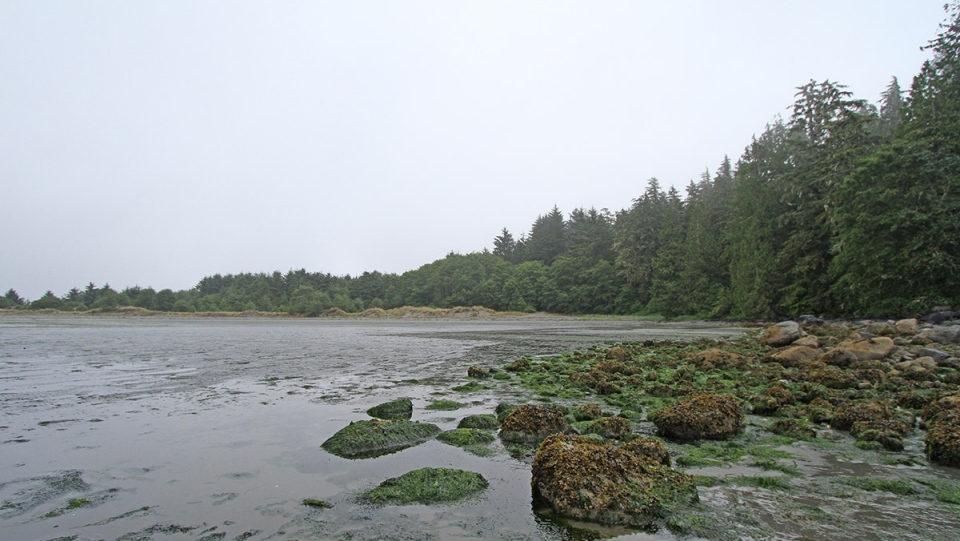
This ecoregion stretches across Vancouver Island's mountainous landscape to the Pacific ocean, stretching across major urban areas including Victoria, Nanaimo, Campbell River, and Courtenay.
According to the NCC, this ecoregion has a "very high richness" of species of conservation concern. There are over 55 national species at risk, according to the study, including the Oregon vesper sparrow, dense-flower lupine, Edwards' beach moth, and common sharp-tailed snake. The study reports that the forests are characterized by Douglas-fir, western hemlock and grand fir, with some examples of globally rare Garry oak ecosystems.
The NCC says this region supports more biological diversity than anywhere else in B.C., and contains many of the province’s most significant estuaries.
B.C.'S LOWER MAINLAND
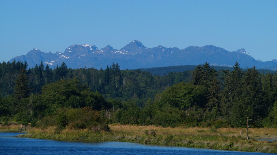
According to the NCC, the ecoregion of B.C.'s Lower Mainland is made up of major urban centres including Vancouver, Richmond, Surrey, Langley, and Abbotsford. It also encompasses the southern pacific coast of the province, and is part of the coastal temperate rainforests that extend from California to Alaska.
The NCC says the ecoregion is characterized by the Fraser River floodplain, which provides overwintering or migratory stopover habitat for upwards of 250,000 waterfowl and over one million shorebirds. According to the report, this ecoregion supports more over-wintering birds than anywhere else in Canada.
The NCC reports that there are over 20 national species at risk here, including the great blue heron, western painted turtles, and Vancouver Island beggarticks. The study reported just over five per cent of this ecoregion is conserved, with the largest protected areas being provincial parks and wildlife management areas.
"Conservation in this area can help maintain the ecological services that support communities and provide nature-based solutions for climate change adaptation," the study says.
ASPEN PARKLAND
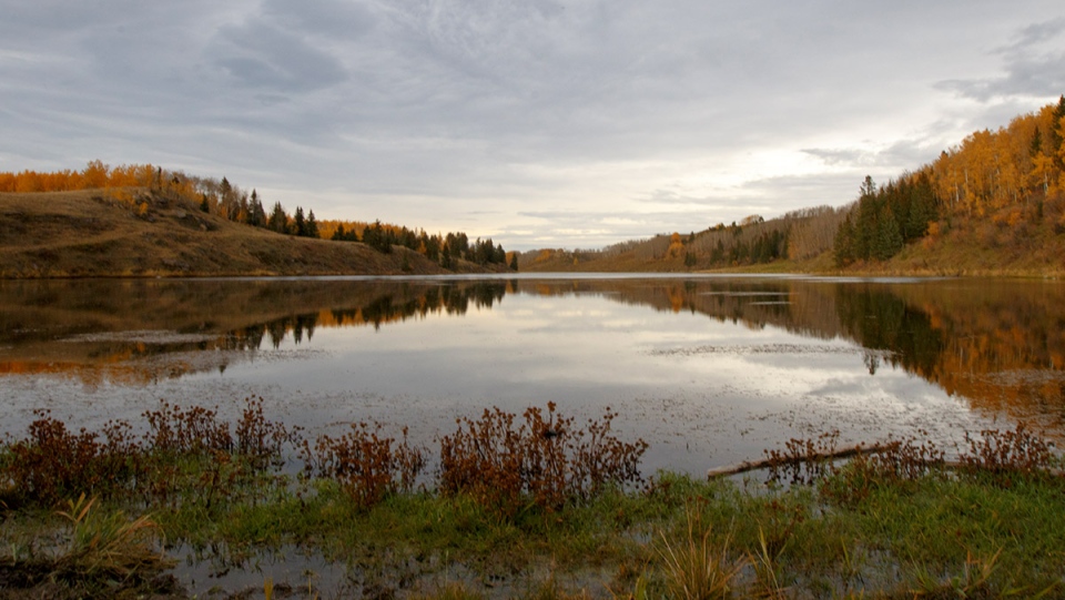
The Aspen Parkland ecoregion spans the three Prairie provinces and features farmlands, towns, and large urban centres including Red Deer, Edmonton, Lloydminster, North Battleford, Humboldt, Yorkton, and Brandon.
The NCC reports that this ecoregion serves as a "transitional zone" between the boreal forest and the Prairies, marking the change from grasslands to mountains with aspen groves and wetlands. Only four per cent of the ecoregion is protected and 21 per cent natural cover remains, according to the study.
The NCC says this ecoregion faces crisis from habitat loss due to agriculture, oil and gas exploration, and drilling. The report found that there are over 40 national species at risk including the burrowing owl, silky prairie clover, and piping plover.
Despite a high level of land conversion in the Aspen Parkland ecoregion, the NCC says important habitats within the area can still be protected to maintain Canada’s natural diversity. However, the organization notes that protecting it will require partnerships with the agricultural community and cities.
MANITOULIN-LAKE SIMCOE
The Manitoulin-Lake Simcoe ecoregion includes Kingston, Belleville, Peterborough, Oshawa, Kitchener-Waterloo, Barrie and Owen Sound, stretching through south-central Ontario.
The NCC says this ecoregion is influenced by the Great Lakes and is "highly threatened" because of habitat loss and fragmentation. The study found that the area has over 75 national species at risk including Hine's emerald, eastern loggerhead shrike, and lakeside daisy.
ST. LAWRENCE LOWLANDS
The NCC says the St. Lawrence Lowlands measure over 4.5 million hectares stretching across the Ottawa and St. Lawrence rivers, covering regions between Montmagny east of Quebec and Brockville while also including areas of cultivated farmland.
Less than four per cent of the land base is currently protected, which is one of the lowest amounts in Canada, according to the report. The NCC says this ecoregion has over 50 national species at risk and is home to over 50 per cent of Quebec's rare species. Over 30 of these species are of global conservation concern with some "found nowhere else on Earth."
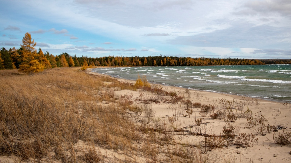
PRINCE EDWARD ISLAND
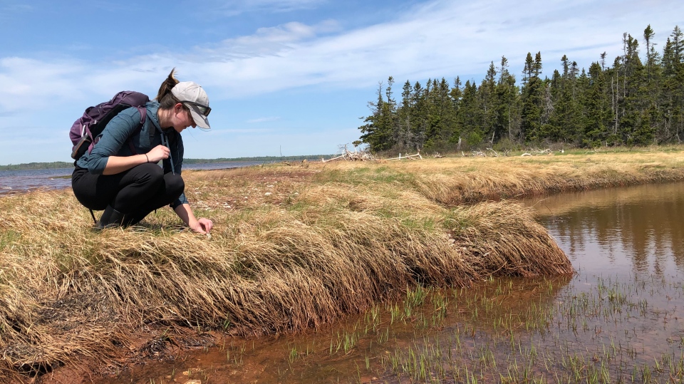
According to the study, the Prince Edward Island ecoregion includes over 25 national at-risk species including the red knot, butternut, buff-breasted sandpipe, and little brown myotis across the coastal and marine environment. The landscape is characterized by sand beaches and dunes, coastal estuaries, remnants of Acadian forests, streams, and wetlands.
The NCC says this ecoregion is the most impacted of all regions in Canada's Maritimes. The study reports that only 56 per cent of P.E.I. remains in natural cover and its authors stress that there are "important and irreplaceable sites," particularly along the coast that need to be protected.
NORTHERN CONTINENTAL DIVIDE
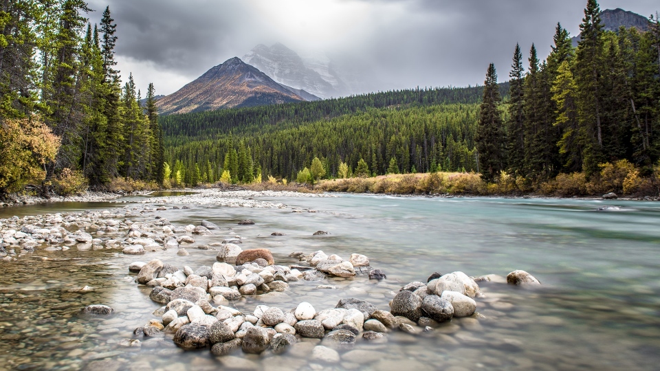
The Northern Continental Divide straddles the watershed drainage to the Pacific and Atlantic oceans through Hudson Bay. The largest communities include Banff, Canmore, Elkford, Fernie, and Sparwood, and the regions is a "critical component" of the Yellowstone to Yukon corridor.
According to the NCC, this ecoregion has a "wide diversity" of species of national and global conservation concern such as the grizzly bear, Banff Springs snail, and whitebark pine. The study reported that nearly 97 per cent of this region remains in natural cover, however, the area is "quite fragmented" with a combination of natural barriers, including mountains, and human barriers, such as roads and settlement.
MIXED GRASSLAND
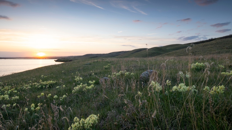
According to the NCC, the mixed grassland ecoregion is the "southernmost and driest" of Canada's Great Plains. The area is a northern extension of the shortgrass landscapes that stretch south to Mexico with major communities including Medicine Hat, Leader, Swift Current, Assiniboia, Maple Creek, Shaunavon, and Kindersley.
The study reports that there are over 35 at-risk species in this ecoregion such as the black-tailed prairie dog, greater short-horned lizard, and swift fox. Agriculture "dominates" this landscape, according to the study, with extensive ranching, irrigation, cultivation, and oil and gas extraction being common.
"The rate of land conversion in this ecoregion is one of the highest in southern Canada. This is primarily native managed grasslands being converted to cropland," the study notes.
Of all the prairie ecoregions in Canada, the NCC says the mixed grassland offers the "best opportunity" to protect habitats. With 42 per cent natural cover, the study reports that this ecoregion has some of the largest blocks of intact prairie habitat remaining in Canada, located along the U.S. border, in the Great Sandhills region, and around the Canadian Forces Base Suffield National Wildlife Area.
The study says long-term protection of this ecoregion can be accomplished by "increasing the number of conserved lands and improving partnerships and incentives that support ranchers."
Edited by CTVNews.ca's Sonja Puzic


