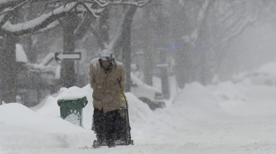
The onslaught of bitter cold and messy weather continues for much of Eastern Canada with heavy snowfall and powerful winds expected in the coming days thanks to a low-pressure system travelling north from the United States.
Environment Canada Senior Climatologist Dave Phillips said a “good many millions of Canadians” will be affected by this particular storm this week.
“It’s sort of the lull before the storm, but we’re going to get another blast,” he told CTV News Channel on Monday.
Ontario
The Colorado low is tracking north to southeastern Ontario where the entire region is under a winter storm watch or a special weather statement by Environment Canada.
The southern portion of the province is expected to begin receiving snow shortly after midnight on Tuesday before changing over to ice pellets and freezing rain later in the day.
In Toronto, the weather agency’s special weather statement is calling for 15 to 20 centimetres of snow and ice pellets on Tuesday morning before switching over to freezing rain in the evening.
In addition to the mixed precipitation, the city will experience strong easterly winds gusting up to 80 km/h that will likely caused reduced visibility from blowing snow.
CTV’s Your Morning meteorologist Kelsey McEwen said the timing is poor for the Greater Toronto Area because the falling snow will impact the morning rush hour and the freezing rain will affect the afternoon commute home.
“There’s snow through the morning drive and then freezing rain for the way home and it’s just so many millions of commuters are going to be impacted by this,” she told CTVNews.ca on Monday. “It’s going to be messy.”
The same Colorado low is then expected to make its way east to the Ottawa area where it will dump even more snow on the region. Environment Canada said Kanata, Orleans, Richmond and Metcalfe could receive snowfall amounts of 30 to 40 centimetres on Tuesday and into Wednesday.
The snow will begin falling midday and will be accompanied by easterly winds gusting up to 60 km/h, according to the weather agency.
Quebec
In southern Quebec, there are winter storm watches for most of the region, including Montreal. Environment Canada said the city could see 20 to 40 centimetres of snow along with blowing snow.
The snow will gradually begin late Tuesday afternoon and rapidly intensify in the evening, according to the agency. Regions in the St. Lawrence Valley and the Outaouais and Temiscamingue are predicted to be hit with between 30 to 40 centimetres of snow.
McEwen said Quebec City and the regions north of it will be some of the hardest-hit areas when the snow arrives there in the late afternoon to early evening.
“I think north of Quebec City we’re going to get into 50-plus centimetres of snow,” she said.
New Brunswick
Shortly after midnight on Wednesday, McEwen said the storm system will move into the Maritime provinces where southern New Brunswick and Nova Scotia will be impacted first before it moves north to Prince Edward Island and Newfoundland and Labrador.
Environment Canada has issued a special weather statement for all of New Brunswick with snow expected to change over to ice pellets mixed with freezing rain by the afternoon and eventually into rain by the evening.
McEwen said Fredericton could receive close to 40 centimetres of snow before it turns into rain.
Nova Scotia
Nova Scotia, too, is under a special weather statement with a “mixed bag” of precipitation expected for most of the province.
McEwen said it’s still too early to predict exact snowfall amounts in the Atlantic Provinces because they’re still a couple of days out from the storm.
Prince Edward Island
Eventually, the storm system will travel to P.E.I. where the island is under a similar special weather statement as New Brunswick and Nova Scotia.
Newfoundland and Labrador
By Wednesday night, McEwen said the low-pressure system should reach Newfoundland and Labrador.

