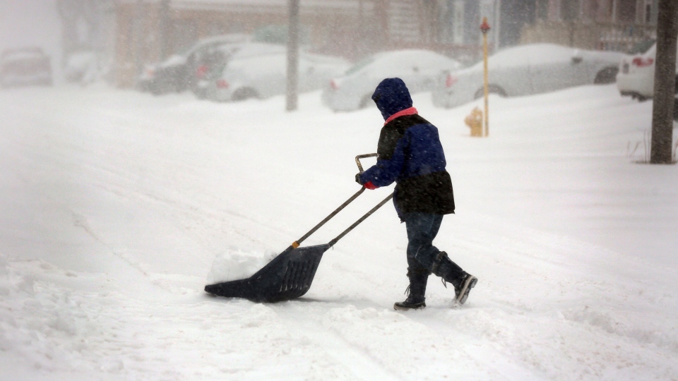
This year's cold, snowy winter is far from over, but next year will hopefully be milder, an Environment Canada weather expert says.
A prolonged shift in the jet stream means more frigid temperatures in central Canada, more snow out East and more mild temperatures out West this month, according to meteorologist Peter Kimbell. Fortunately, that shift is an anomaly and not the new normal.
"These kinds of anomalies can persist for a little while but then eventually they break down," Kimbell told CTV's Canada AM on Wednesday. "Hopefully we don't have a repeat next winter."
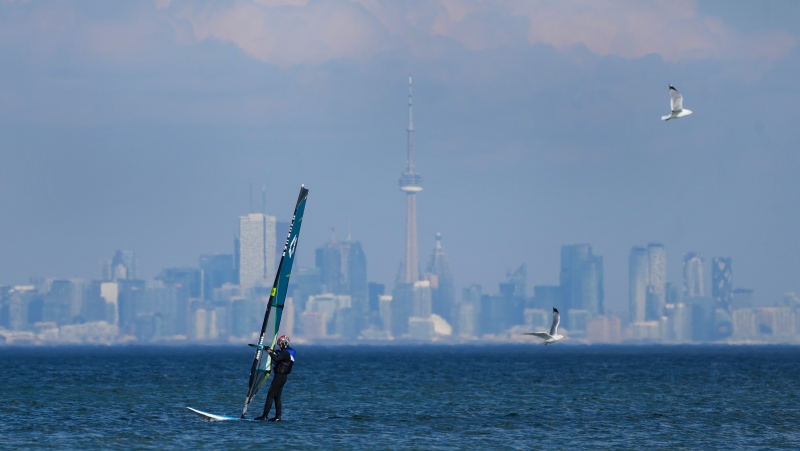
Kimbell says the jet stream that runs from east to west across North America has shifted temporarily, bringing warm, tropical air to the West Coast. British Columbia and southern Alberta have been enjoying comfortably mild temperatures as a result, but the rest of Canada remains under a blanket of icy Arctic air that's driving temperatures to near record-lows, he said.
Kimbell says the extreme weather will continue through to the end of February, with no warm spells or relief in the forecast for areas suffering under a deep freeze.
"We don't really see any warm weather coming yet," Kimbell said.
That's bad news for most of the country, particularly out East, where some areas have seen as much as 250 centimetres of snow accumulate since Jan. 1.
Kimbell says nearly half that amount fell in the first half of February, with 10 days remaining for more snow to pile up.
"It is extreme right now, since the end of January," Kimbell said. "Pretty much everybody except for B.C. and southern Alberta is shivering under much colder-than-normal temperatures."
Kimbell predicts March will not be as cold as February, but the next few weeks will be "not good news."


