HONOLULU -- The Big Island of Hawaii is bracing for high winds, heavy rain and ocean swells of up to 20 feet (6 metres) as strengthening Hurricane Ignacio approaches the state.
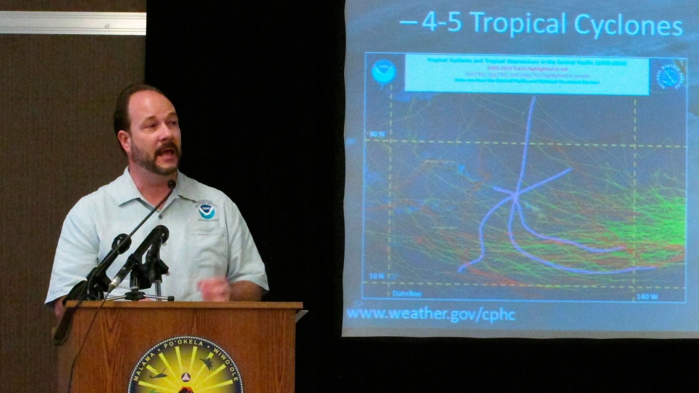
Ignacio has grown to a Category 4 storm, with sustained winds of up to 135 mph (217 kph). Forecasters at the Central Pacific Hurricane Center said conditions are right for it to continue strengthening Saturday, but upper-level winds will weaken the storm in the following days.
That won't be enough to prevent high winds and battering surf from hitting Hawaii. A tropical storm watch was issued for the Big Island, and forecasters warned that sustained winds there could potentially reach tropical storm force of 39 mph (63 kph) as early as Monday morning.
Swells generated by Ignacio along east and southeast facing shores of the Big Island will increase to up to 20 feet Sunday through Monday, creating potentially life-threatening surf conditions, forecasters said.
Some low-lying areas along the coast could flood, including in the Kapoho area.
As of Saturday afternoon, Ignacio was about 550 miles (885 kilometres) east-southeast of Hilo, and 760 miles (1,223 kilometres) from Honolulu. It is expected to pass north of Hawaii in the coming week, but forecasters warn that there is still uncertainty about the storm's path.
Additional islands might be added to the tropical storm watch later Saturday, Hawaii News Now reported. Gov. David Ige has already signed an emergency proclamation anticipating the storm.
Ignacio is being followed by Hurricane Jimena, which has strengthened into a Category 4 hurricane with maximum sustained winds of 140 mph (225 kph) Saturday afternoon. It's about 1,285 miles west-southwest of the southern tip of Baja California.
Jimena is expected to remain a major hurricane into midweek, but it will still be far from Hawaii. Forecasters warn, however, that that there is still much uncertainty about Jimena's path, so Hawaii residents need to monitor information about the weather.

